To build your own Itinerary, click  to add an item to your Itinerary basket.
Already saved an Itinerary?


Number of results: 163
, currently showing 81 to 100.
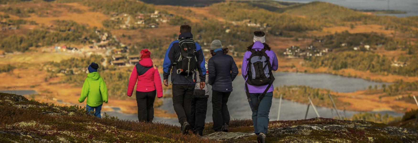
Skien Fritidspark: Floodlit ski trails (1-5 km) and adapted hiking paths. Easily accessible with trails perfect for families and training in Telemark.
Skien
The Bamble coastal path starts at the library in Stathelle and finishes at Fossing in Krageø, covering a stretch of approx, 62 km.
Stathelle
Cycle Jomfruland National Park! Explore flat moraine island, unique Oak Forest, and pebble beach. Perfect for families spring, summer, and autumn.
Kragerø
Kattøya, Porsgrunn: Island accessible by footbridge from Olavsberget. Enjoy hiking, fishing, swimming, and an open lavvo.
Porsgrunn
Experience a historic hike on the sherpa staircase from Dalen to Rui: 1 km, 810 steps, and 200 meters of elevation in about 20-30 minutes.
Dalen
Hike to Melakollen in Siljan for panoramic views over Siljan and Midtbygda. Easy forest trail with optional 4.5 km loop for a longer hike.
Siljan
Hike to Nordkollen in Siljan – 2.1 km moderate trail with 320 m elevation, offering panoramic views of mountains, Farris Lake, and Færder Lighthouse.
Siljan
Tinn municipality has around 800 lakes containing trout and char. You can fish many of the lakes if you have a fishing permit.
Rjukan
Skorve is one of the highest mountains in Seljord, with two peaks: Mount Gøysen and Mount Nordnibba. During WWII two planes crashed into the mountain.
Seljord
The Kragerø archipelago offers several great fishing opportunities.
Kragerø
Østre Vealøs is an extremely popular area for hiking and boasts one of the highest peaks in the eastern part of Skien.
Siljan
This bike tour provides many opportunities for a refreshing bath.
Lunde
Lake Seljordsvatnet has a sizeable population of large
brown trout, and a concerted effort is being made to develop
it.
There are many places to go fishing in Seljord. Contact the local tourist information, Møtestad Seljord for more information. Ph…
Seljord
Spend a night under the open sky at Rauane or Rødskjær in the Kragerø archipelago. These islets are also nice for having a bath in the sea.
Kragerø
Egderudfossen in Hjartdal is a hidden gem where cultural heritage meets wild nature. Next to the historic Bygdemølle, you’ll find a stone-paved picnic and swimming area, and the charming “Myllestigen” bridge with great views of the waterfall and…
Hjartdal
This part of the coastal path is easy to walk, with no major elevation differences. Here are some of the pearls along the path.
Stathelle
Valleråsen can be found in Bymarka in the east of Porsgrunn and is a simple and easy hiking trail of approx. 2.2 km and fine view over the city and the fjord.
Porsgrunn
Ratings & Reviews
Powered By
![]()

© Visit Telemark 2026. Copyright