To build your own Itinerary, click  to add an item to your Itinerary basket.
Already saved an Itinerary?


Number of results: 163
, currently showing 121 to 140.
Experience a historic hike on the sherpa staircase from Dalen to Rui: 1 km, 810 steps, and 200 meters of elevation in about 20-30 minutes.
Dalen
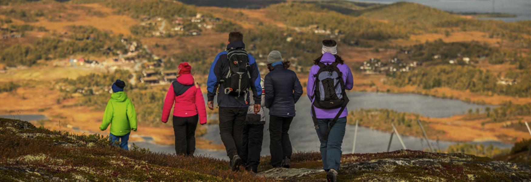
Explore the Cultural Trail "Around Hjellevannet" in Skien. easy walk with history, nature, and the Hakastein cultural park. Perfect for walking and cycling.
Skien
Visit 10 great mountain tops in Tokke. For more information contact the tourist office in Dalen.
Dalen
The hike over Stærte follows an old farm track from Siljan to Prestegårdseter.
Siljan
Cycle Sogevegen in Telemark! Discover 25 km of art, folklore, and stunning landscapes. Perfect for e-bikes, with stops at historic Nutheim Hotel.
Flatdal
Spectacular hike to Nåsnibben in Telemark, Norway! Enjoy panoramic views of Nåsvannet & Åkrevannet. Follow the marked trail. Hike responsibly.
Drangedal
Mount Roholtfjell is the most marked "minialpine" mountain in Vrådal with clear-cut boulders and a height of 1005 m.
Vrådal
Discover Nissedal: A fishing paradise in Telemark with 1,750 lakes. Catch trout and perch from the shore or a boat. Plan your ultimate trip here!"
Treungen
Lake Seljordsvatnet has a sizeable population of large
brown trout, and a concerted effort is being made to develop
it.
There are many places to go fishing in Seljord. Contact the local tourist information, Møtestad Seljord for more information. Ph…
Seljord
A hike to Numedalshovda is nice to combine with a visit to a Norwegian mountain farm, Håvardsrud Seterliv.
Tinn Austbygd
Easy 4 km hike around Kovstulvann – perfect for everyone!
Tuddal
Round trip from Dalen where you cross the river Tokkeåi via the suspension bridge over Helveteshylen (Hell)
Dalen
Canal Boats Telemark AS is the first Norwegian company to rent out 100% electric cabincruisers. Canal Boats Telemark introduces a whole new way of boating.
Porsgrunn
Cycle the Gruveåsen loop! A family-friendly 12 km ride from Øvre Verket through the Fen Volcano’s unique geology and historic iron mines in Ulefoss, Norway.
Ulefoss
Discover mountain biking in Skien fritidspark! From beginner loops to 14 Enduro trails. Bike rentals, washing stations, and accommodation on-site.
Skien
Mainly flat terrain and easily accesible – throughout the whole year.
Hike to Nordkollen in Siljan – 2.1 km moderate trail with 320 m elevation, offering panoramic views of mountains, Farris Lake, and Færder Lighthouse.
Siljan
Cycle along the old railroad Treungbanen. A perfect trip for the whole family.
Treungen
Ratings & Reviews
Powered By
![]()

© Visit Telemark 2026. Copyright