To build your own Itinerary, click  to add an item to your Itinerary basket.
Already saved an Itinerary?


Number of results: 163
, currently showing 61 to 80.
This is an easy hike suitable for all the family. Stubbekollen is a summit on the boundary of Siljan and Larvik municipalities.
Siljan
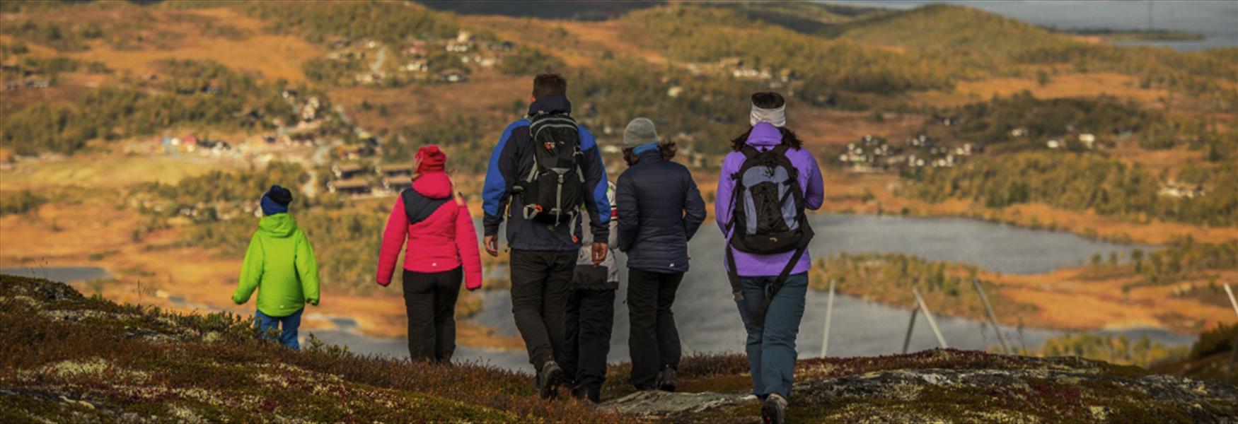
Easy 4 km hike around Kovstulvann – perfect for everyone!
Tuddal
Cycle Langesund–Kragerø (58km). Explore Norway's National Cycle Route 1: panoramic views, beaches, and coastal history in Telemark!
Langesund
Kattøya, Porsgrunn: Island accessible by footbridge from Olavsberget. Enjoy hiking, fishing, swimming, and an open lavvo.
Porsgrunn
Explore the Villmarksrunden of 23 km, designed for off-road cycling in Telemark. Medium/high degree of difficulty. Ideal for experienced trail cyclists.
Lunde
The trail starts at the bottom of the stairs from the Breviks bridge on the Stathelle side.
Stathelle
HUB riding for cyclists gives you the opportunity to use Straand Hotel as a starting base and cycle varied and exciting routes every day during your stay.
Vrådal
Cycle Jomfruland National Park! Explore flat moraine island, unique Oak Forest, and pebble beach. Perfect for families spring, summer, and autumn.
Kragerø
A 7 km walk to a unique rock formation. The trail is steep and difficult, but in return you get to experience a fantastic view.
Bø i Telemark
Hike to Øysteinnatten (1174 m) on Lifjell. A demanding 11.5 km loop from Jønnbu featuring panoramic views of Gaustatoppen and Midt-Telemark.
Bø i Telemark
Nice trail between Jypleviktangen and Sandvika.
Stathelle
At Canvas Telemark you can experience glamping in luxurious yurt tents, incredible nature, mountain biking at its very best, unforgettable camp life and fantastic food.
Treungen
A small detour along the coastal path from Rognstranda to Åby.,
Stathelle
Explore the Århus Cultural Path in Skien. A 4.5 km historic walk for the whole family, from Århus Farm to Fossum Ironworks.
Skien
Straand Hotel and Vrådal Tourist Information rent out rowing boats, motor boats, sup, canoes, kayaks and pedal boats to experience Nisser and Vråvatn from the water.
Vrådal
Lake Seljordsvatnet has a sizeable population of large
brown trout, and a concerted effort is being made to develop
it.
There are many places to go fishing in Seljord. Contact the local tourist information, Møtestad Seljord for more information. Ph…
Seljord
Walk along the water's edge in Skien's city center on the Cultural Path. Discover the city's history, the MORILD light project, and the Skien lock.
Skien
Valleråsen can be found in Bymarka in the east of Porsgrunn and is a simple and easy hiking trail of approx. 2.2 km and fine view over the city and the fjord.
Porsgrunn
Try one of the bicycle routes in Møsvatn, one of the gateways to Hardangervidda, and enjoy the spectacular nature,
Rjukan
Ratings & Reviews
Powered By
![]()

© Visit Telemark 2026. Copyright