Trolldalen Kystfort
Type:Nature trails
3967, Stathelle


To build your own Itinerary, click  to add an item to your Itinerary basket.
Already saved an Itinerary?


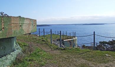
Trolldalen Kystfort, beautifully located right on the water’s edge in Bamble, was built by the Germans during World War II. Today the coastal fort is a great place to explore as it offers panoramic views of the ocean and skerries. Bunkers, runways and cannon positions can still be viewed up close.
You’ll find Trolldalen only 1 km from the summer town of Valle, accessible from both Valleveien and from the sea.
History of Trolldalen coastal fort
In 1941 the Germans had three cannon and heavy machine guns in position here. They were also able to defend themselves against air strikes due to four bunkers, two for the defense and two used as shelters for the staff. Between the installations, runners and ammunition were stored in the mountain. The Germans left the fort in 1943, and it was never taken over by the Norwegian defense and that is why it’s quite unique. In 2012 a cannon was taken from Trandum and set up as an illustration at the fort.
Many believe that this facility was built due to a navigation error made by the Germans. That it was supposed to have been built in Trolldalen near Kristiansand.
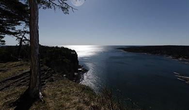
Great views of the archipelago
From the fort’s highest point, you get great views over the archipelago that separates Bamble and Kragerø municipality. The idyllic islands of Stråholmen and Jomfruland can also be seen from here.
Access Trolldalen from the coastal path
The fort is easily accessed from the beautiful Bamble coastal path. Follow the access road to Trolldalen, about 100m, and take a left up the hill. You will see the fort at the end of the road.
Access / parking
Take the E18 from Åby and follow the signs for Valle. Park in the marked spaces along Valleveien and return to the sign for Trolldalen. Follow the road towards the sea and then the gravel road on your right, marked Trolldalen. The area can be difficult to access with a wheelchair / pram and for those with mobility impairments.
Toilet / service: You’ll find the nearest shop / cafe / toilet at Valle.
The landscape with the escarpments, "flauane" in Norwegian, is characteristic of the…
The Olav church ruin (Skeidi church) are the ruins of a stone church built before 1150 in…
Great hiking area near Rognstranda in Bamble. Beautiful forests and flora.
Bamble is dominated by two types of landscape with completely different geological…
The rocks in Steinvika were created in the earth's antiquity, for approx. 461-451 million…
The history of Langøytangen lighthouse station dates back to 1828.
Langesund customs warehouse as it stands today was erected in 1869.
Tollpakkboden is a log-built warehouse, the main part of which dates from the early 1700s.
The old guardhouse is now a customs museum, with artefacts found there from long ago.
Bamble's Landscape - Exciting Geology Through Millions of Years
At Rugtvedt in Bamble, a new exciting locality has emerged, a sandy beach that was…
As the first geopark in Scandinavia, Gea Norvegica became member of the Global Geoparks…
The Gea Norvegica Geopark visitor center is located at the porcelain factory in Porsgrunn…
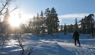 Walking trails in Bamble, Bamble
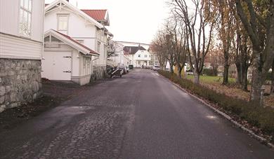 Walking tour at Stathelle, BambleBefore Brevik bridge came in 1962, Stathelle was a junction for traffic between the south and east of Norway.
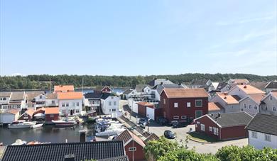 Walking tour in Langesund, BambleLangesund is Grenland’s "white-painted town" by the sea.
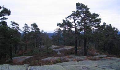
 Rognsåsen, BambleRognsåsen is a popular recreation area in Bamble with a diverse conifer forest.
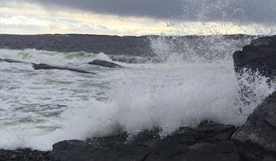 Steinvika in wet and windy weather, Bamble
 Tangen Fort, BambleTangen Fort is located at the far end of Langesundstangen, south of Langesund city centre, and is a popular hiking area.
 Hørsfjell - Bamble highest mountain, Bamble
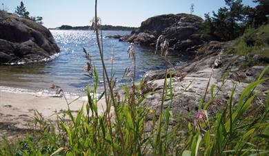 Prisgrunn and Ivarsand, BamblePopular hiking area for families with children.
 Sjøterrassen Restaurant, BambleSjøterrassen Restaurant is a gem in Bamble and is beautifully located by right by the Trosbyfjord.
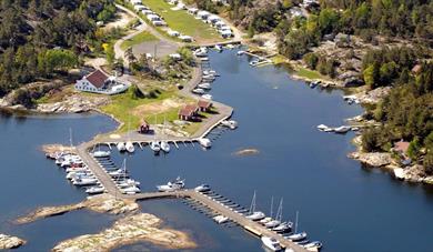
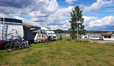 Sjøterrasssen motor home camp, BambleBeautifully located by the Trosbyfjord in Bamble. Short way to coastal path and cycle route no.1. Bathing place, restaurant and many activities all year round.
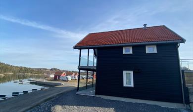 Sjøterrassen rorbuer, BambleSjøterrassen rorbuer is idyllically located by the Trosbyfjord in Bamble municipality. Coastal trail, bike paths, archipelago cruise, Sjøterrassen Restaurant.
Ratings & Reviews
Powered By
![]()


© Visit Telemark 2026. Copyright
