HIking to Stubbekollen
This is an easy hike suitable for all the family. Stubbekollen is a summit on the boundary of Siljan and Larvik municipalities.
About
Stubbekollen is a great and accessible hiking destination situated on the border between Siljan and Larvik municipalities. This short and easy summit hike is perfect for the whole family, including younger hikers.
Quick Facts
- Distance: Approx. 0.9 km one way (approx. 1.8 km round trip)
- Duration: Approx. 1 hour total
- Difficulty: Easy
- Season: April – October
- Terrain: Forest trail with a slight incline
- Suitable for: Families, beginners, and short evening walks
Route Description
- Starting Point: From the parking area at Viddaseter, head north along the trail.
- The Climb: The terrain rises steadily for the first 20–30 minutes.
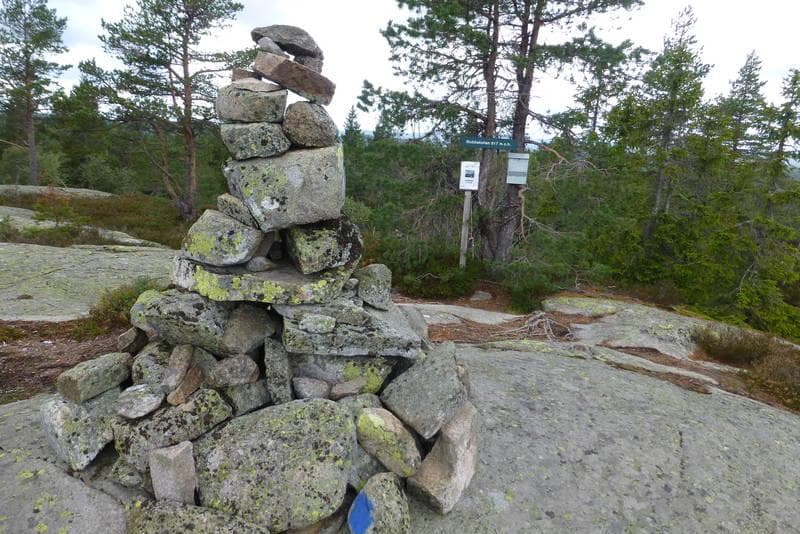
- Toward the Summit: After completing the main incline, turn east to reach the top of Stubbekollen.
- Return: Follow the same trail back to the parking lot.
How to Get There (Access & Parking)
- Directions: Drive along County Road 32 (Fv32) between Siljan and Vindfjelltunet, then turn toward Viddaseter.
- Toll Road: Drive approximately 8 km along the toll road until you reach the parking lot at Viddaseter.
- Parking: Ample parking space available at the trailhead.
Responsible Travel & Leave No Trace
Help us preserve the natural environment around Stubbekollen by practicing responsible outdoor principles:
- Stay on the trail: Stick to established paths to prevent soil erosion and protect fragile ecosystems.
- Pack it in, Pack it out: Bring all trash back with you.
- Respect Wildlife: Avoid disturbing birds and wildlife, especially during the spring nesting season.
- Fire Safety: Observe local regulations and the general campfire ban in or near forests (in Norway, from April 15 to September 15).
Contact
Location
Practical information
- Tours
- Tour suggestions
- Hiking
- Nature trails
Nearby events







"En Showgirls bekjennelse" med Guri Schanke – 12. november på Quality Hotel™ Skjærgården
Stathelleveien 35, 3970 Langesund






Kunnskap på storskjerm: Da imperiet falt - en historisk reise gjennom Østerrike
Krabberødstrand 14, 3960 Stathelle



Barnas Jul med Erik & Kalle - 29.desember på Quality Hotel™ Skjærgården
Stathelleveien 35, 3970 Langesund



Related
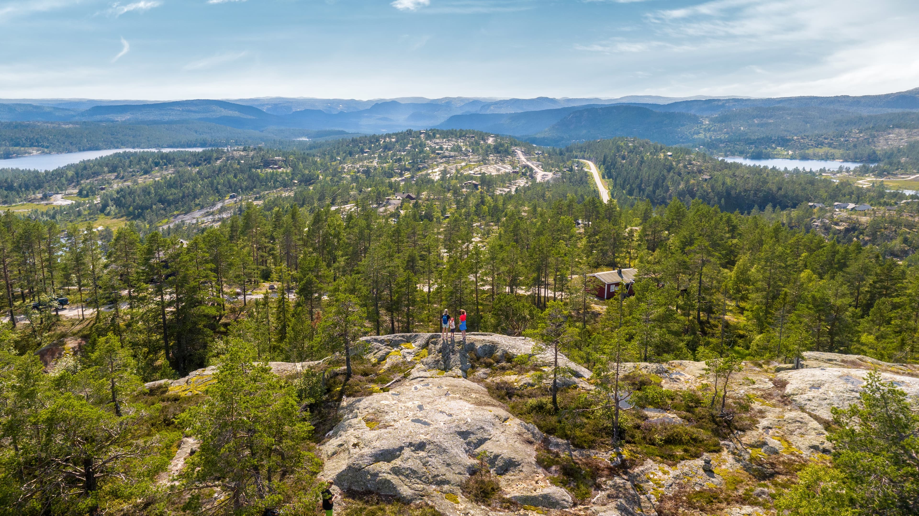
Guided hike with the landowner at Gautefallheia Sverre Tveit
Felehovet Sør 1, 3855 Treungen
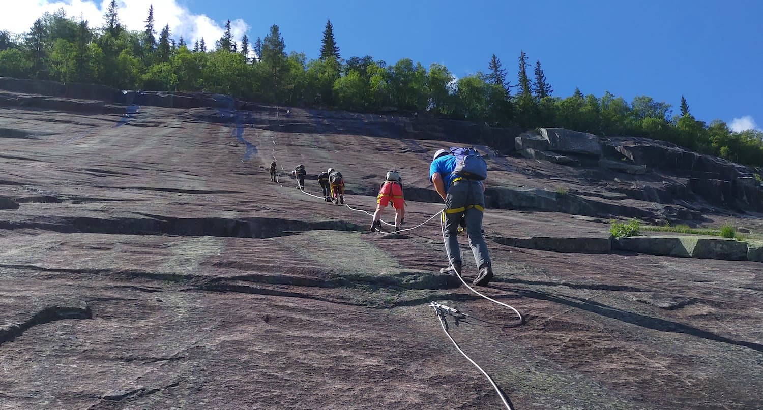
Via Ferrata in Fyresdal
Telemark Camping, Fyresdal, Norge
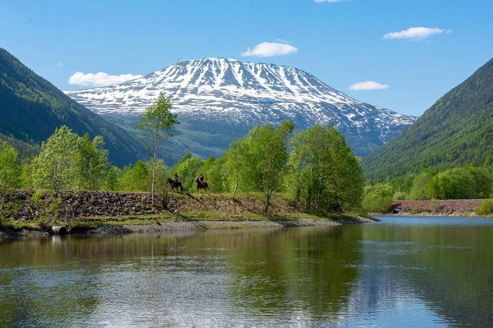
Gaustatoppen
Stavsro, 3660 Rjukan

Bø Sommarland Waterpark
Steintjønnvegen 2, 3800 Bø i Telemark
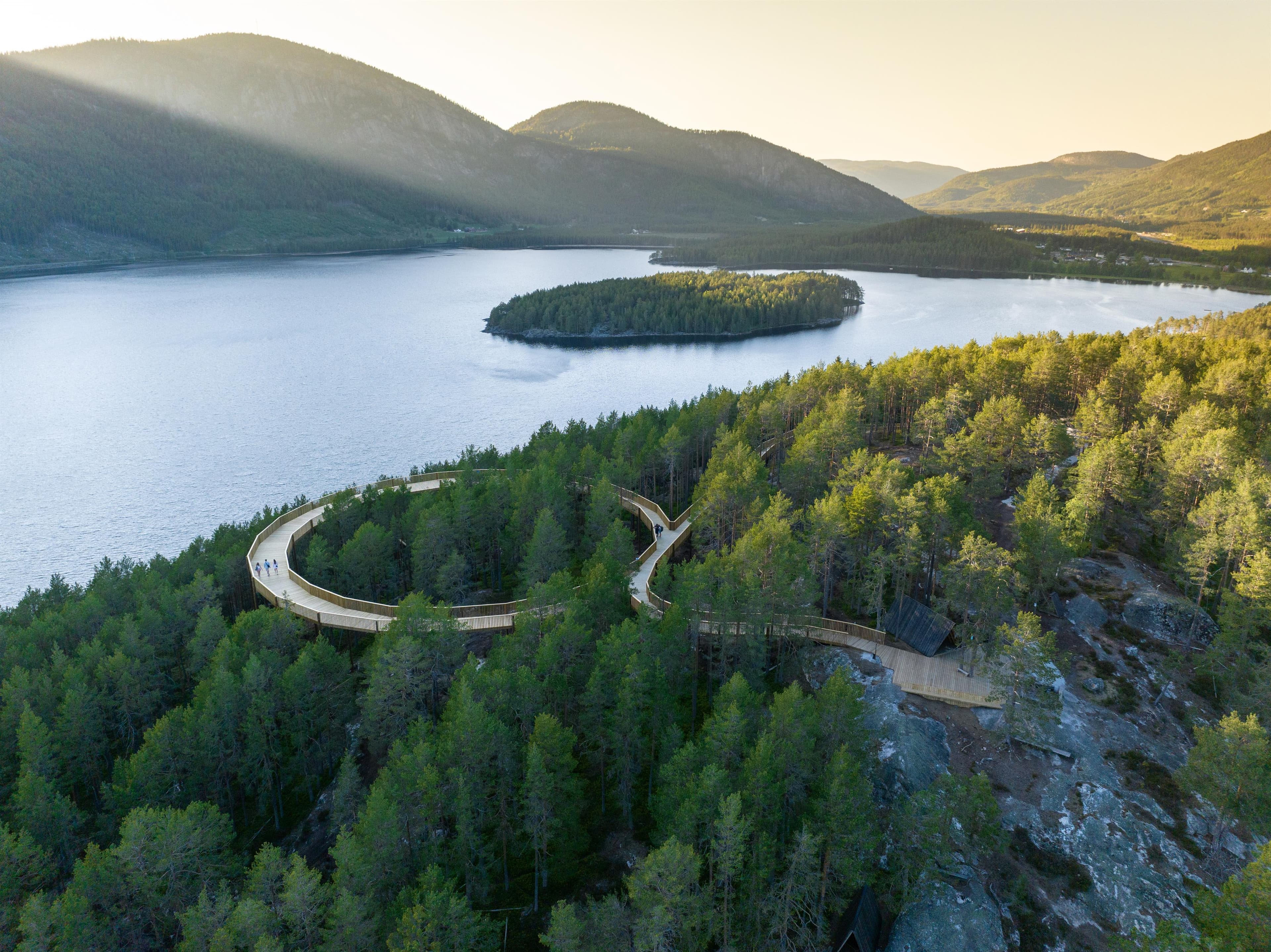
Hamaren
3870 Fyresdal
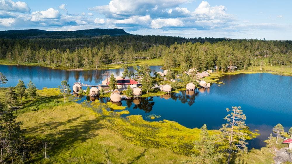
Norrøna Canvas Telemark
Heimdal, 3855 Treungen
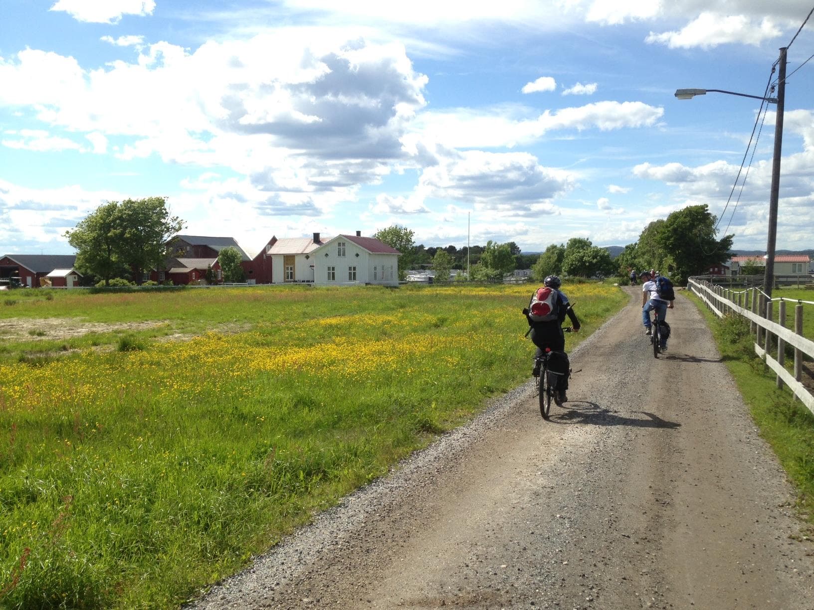
Island hopping with bicycle
3770 Kragerø
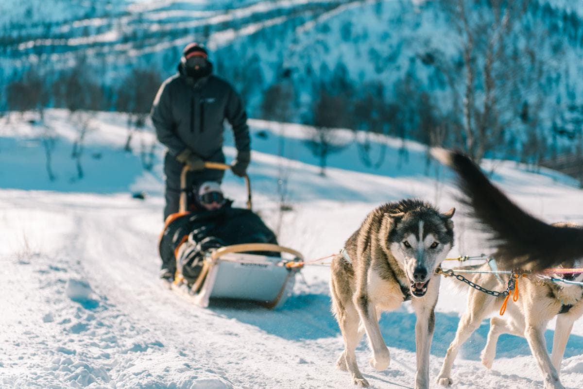
Haukeli Husky
Arabygdvegen 800, 3864 Rauland
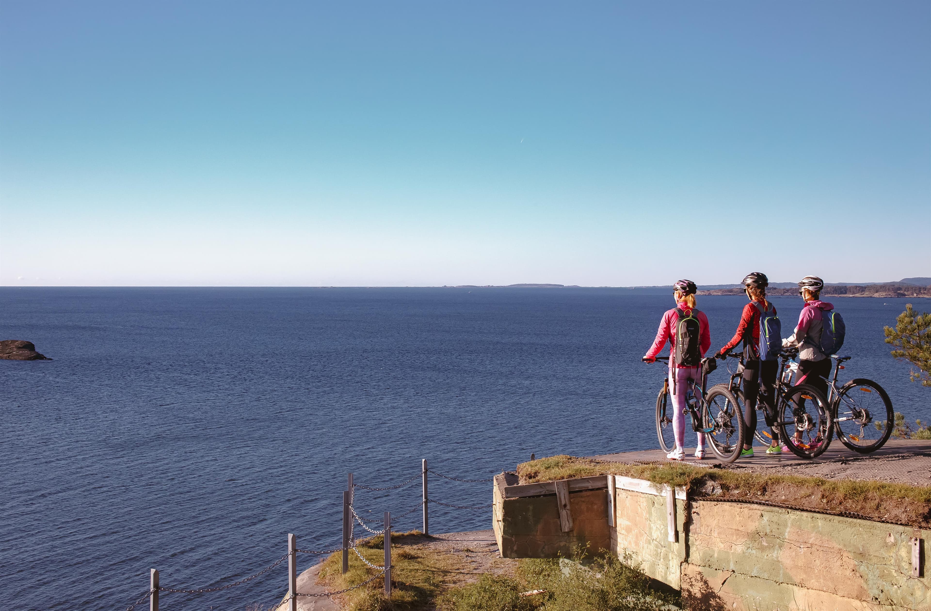
Skjærgårdsruta - The archipelago route
Stathellevn. 35, 3970 Langesund
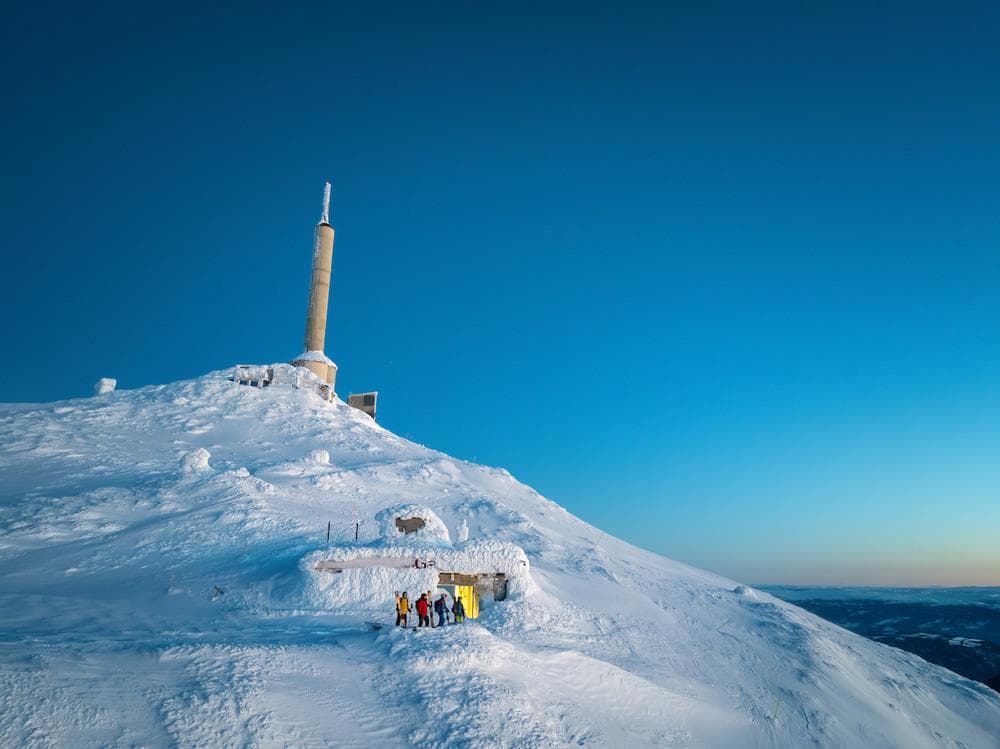
Off piste from Gaustatoppen
Gaustatoppen, 3660 Rjukan
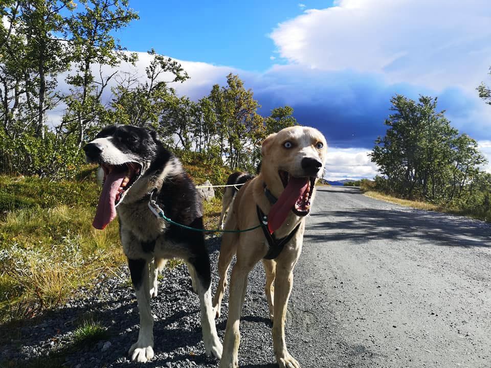
Telemark Husky Tour
3864 Rauland
Mjonøy - Smorklepp Art Museum - Sorensen and Kihle
Mjonøy, 3890 Vinje
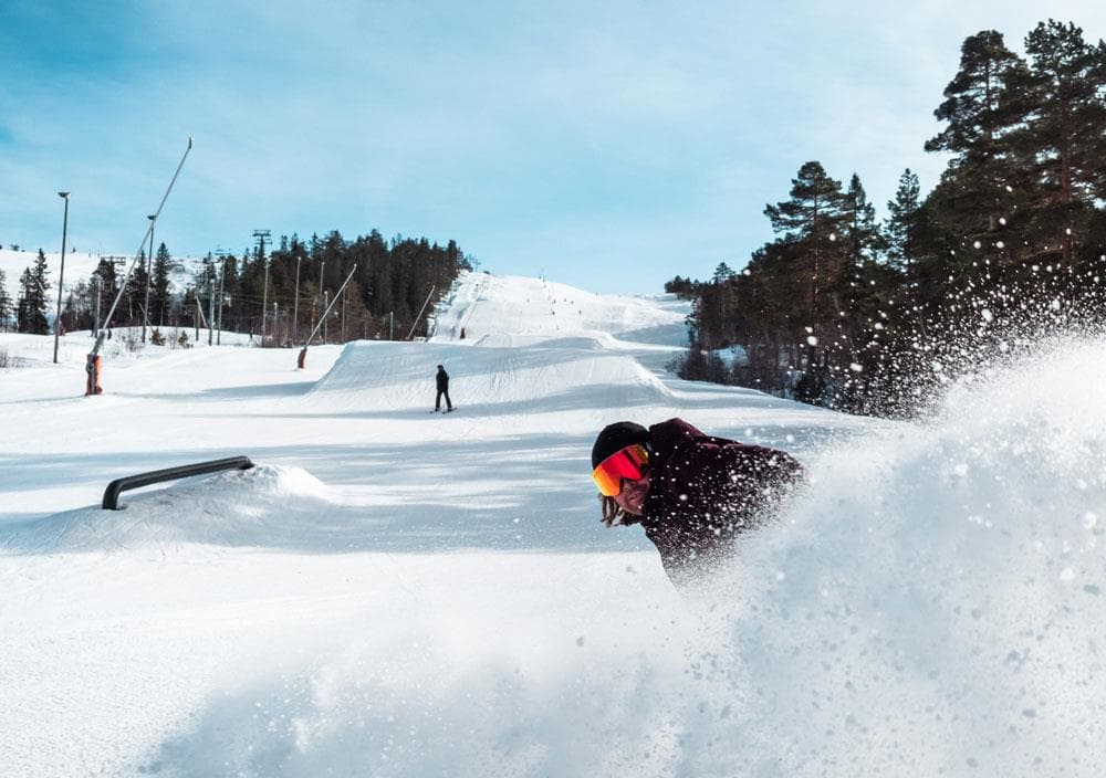
Gautefall Ski Resort
Gautefallheia, 3750 Drangedal
Hjartdal - Bjårvatn
Fossehalli, ungdomshuset i Tuddal, 3697 Tuddal
Hydrostranda - Bamble
3960 Stathelle
Kjerringstein trail
Hotellvegen 100, 3697 Tuddal

Rauland Ski Resort
3864 Rauland
Morgedal Activ
Bygglandvegen 39, 3848 Morgedal
Nearby activities

Hiking to Melakollen
3748 Siljan
Hiking Brånaskottet to Prestegårdseter in Siljan
3748 Siljan
Viddaseter in Siljan
3748 Siljan
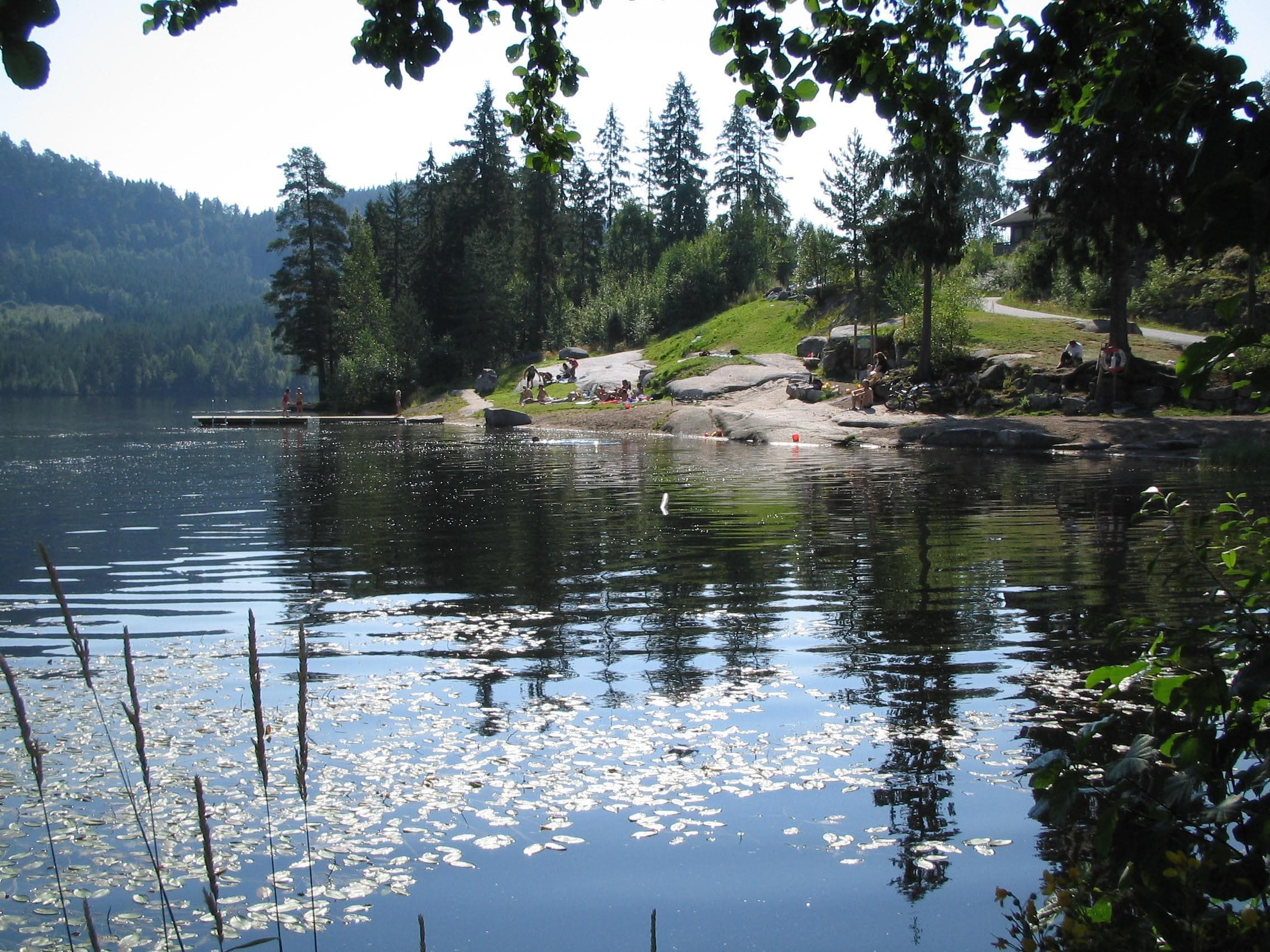
Øvrebøtjenna swimming spot
3748 Siljan
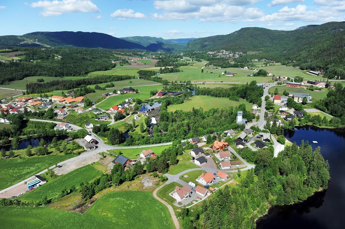
Siljan
Sentrumsvn. 105, 3748 Siljan
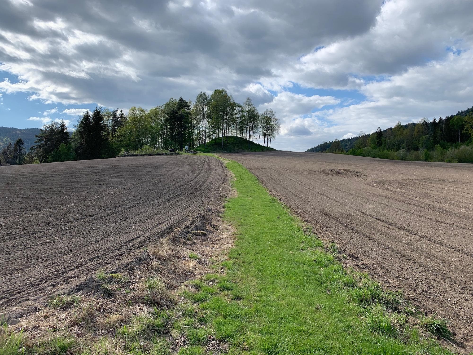
The mound of Silju
3749 Siljan
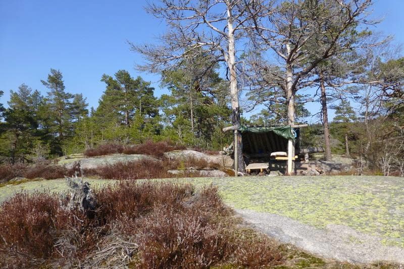
Hiking to Vieråsane viewpoint Åstjønn
3748 Siljan
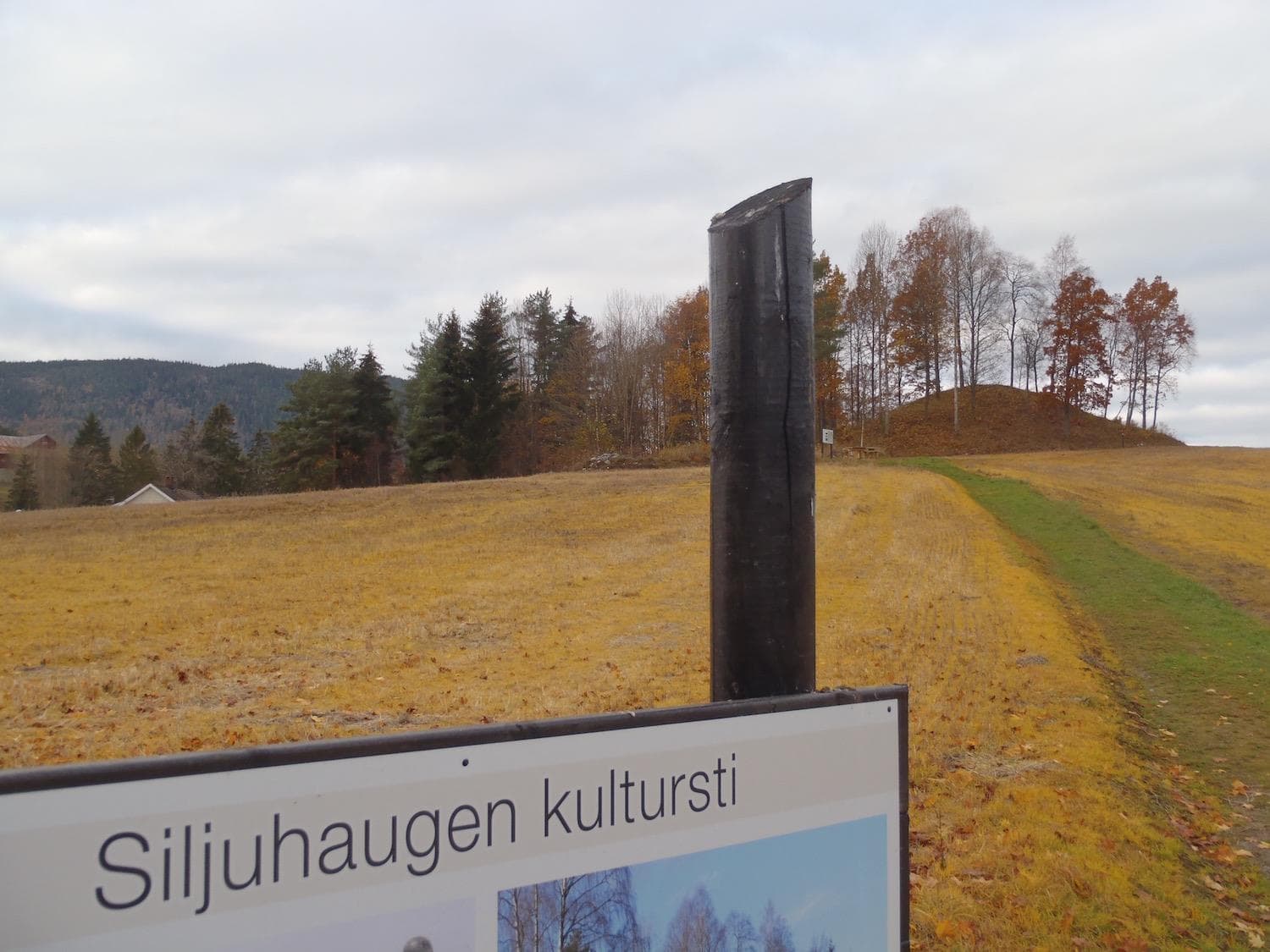
Siljuhaugen culture trail
3748 Siljan
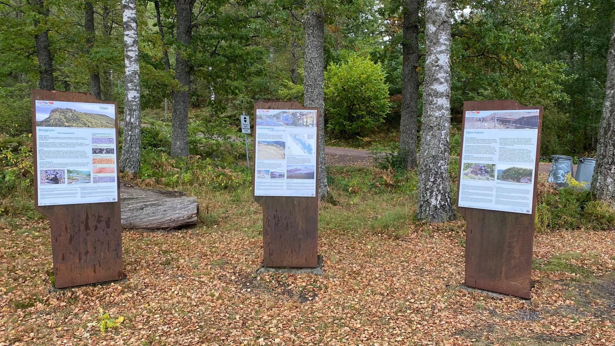
Gea Norvegica Unesco Global Geopark, Siljan
3748 Siljan
Hiknig to Hovde
3748 Siljan
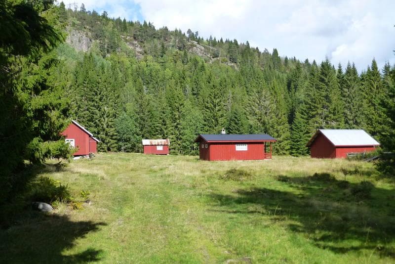
Hiking from Snurråsen to Prestegårdseter in Siljan
3748 Siljan
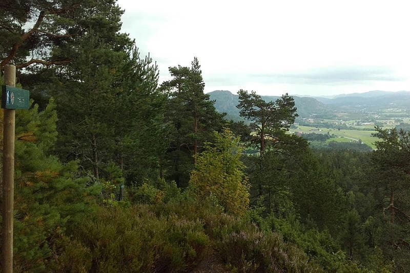
Top trip to Kløverrødkollen - round trip around Kløverødtjønn
3748 Siljan
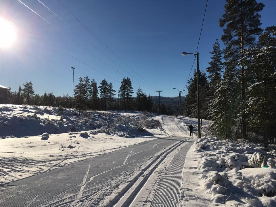
Hiking and ski activities in Siljan
3748 Siljan
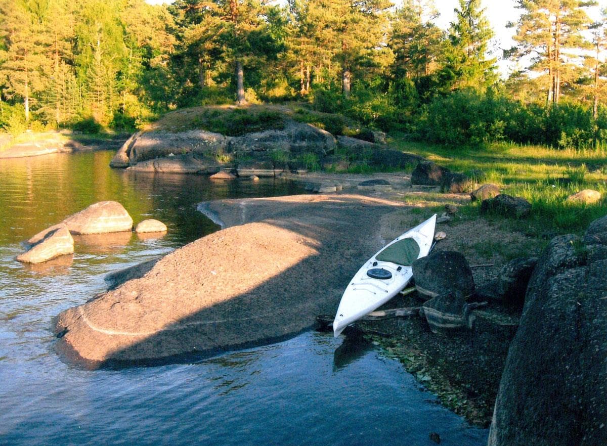
Canoeing in Siljan watercourse
3748 Siljan

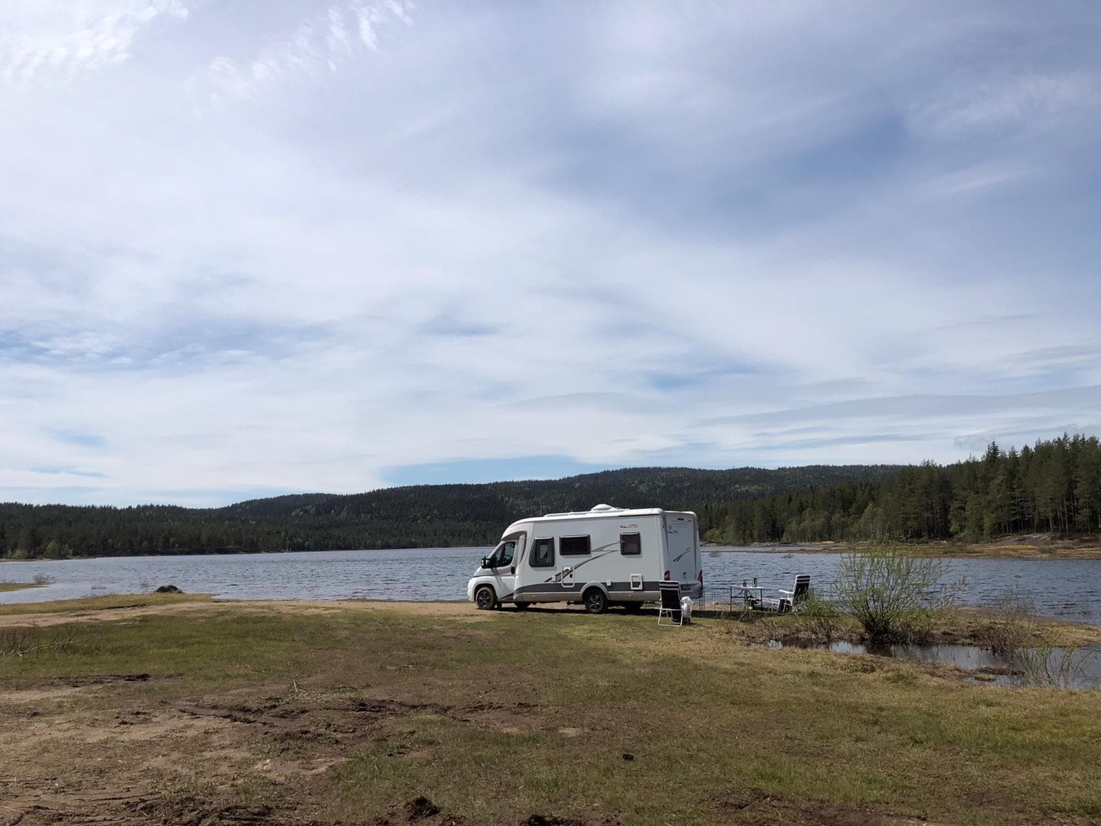
Sporevann
3749 Siljan