Walk to Valleråsen
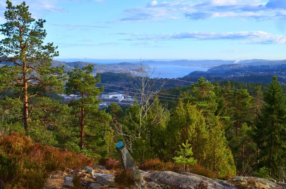
Valleråsen can be found in Bymarka in the east of Porsgrunn and is a simple and easy hiking trail of approx. 2.2 km and fine view over the city and the fjord.
About
Valleråsen is a well-known and popular hiking area located in the Bymarka (City Woods) of Porsgrunn. The hike offers a wonderful nature experience and rewards you with a fine view over the city of Porsgrunn and the fjord from the summit.
Hike Facts and Route Description
The trip to Valleråsen has a total length of approximately 2.2 km (one way) and typically takes around 1 hour (one way). The hike features an elevation gain of 223 vertical meters and reaches a summit height of 197 meters above sea level.
The Trail: The route follows a blue-marked forest trail with pleasant, though sometimes rocky, terrain. The path is on an ascent, with both flat and steep sections.
How to find the trail:
- Starting Point: The hike begins at the railway underpass, near the parking area behind the building of Misjon uten grenser (Moheim). Here, you will find an information board with a map overview of the trails in Bymarka.
- The Old Clergy Road (Presteveien): The first part of the hike follows the old Presteveien towards Siljan.
- Trail Split: After approximately 1.2 km, the trail splits. It is important to turn left here and follow the well-marked and signposted trail towards Valleråsen.
From the summit at 197m a.s.l., you can enjoy the fantastic view towards Porsgrunn and the fjord.
Access and Parking
The hike starts at Moheim. Hikers are permitted to use the Montér Porsgrunn parking lot (located at the Moheim intersection/beginning of Bjørkedalsveien towards Oklungen), thanks to an agreement with Ut.no. Thanks to Montér for making their parking available!
Responsible Travel in Nature
To preserve this beautiful hiking area, it is important to practice responsible conduct. This includes following marked trails, taking all litter with you, and respecting local rules and wildlife.
Contact
Location
Practical information
- Tours
- Hiking
- Nature trails
- Walking routes
Nearby events






"En Showgirls bekjennelse" med Guri Schanke – 12. november på Quality Hotel™ Skjærgården
Stathelleveien 35, 3970 Langesund






Kunnskap på storskjerm: Da imperiet falt - en historisk reise gjennom Østerrike
Krabberødstrand 14, 3960 Stathelle



Barnas Jul med Erik & Kalle - 29.desember på Quality Hotel™ Skjærgården
Stathelleveien 35, 3970 Langesund


Related
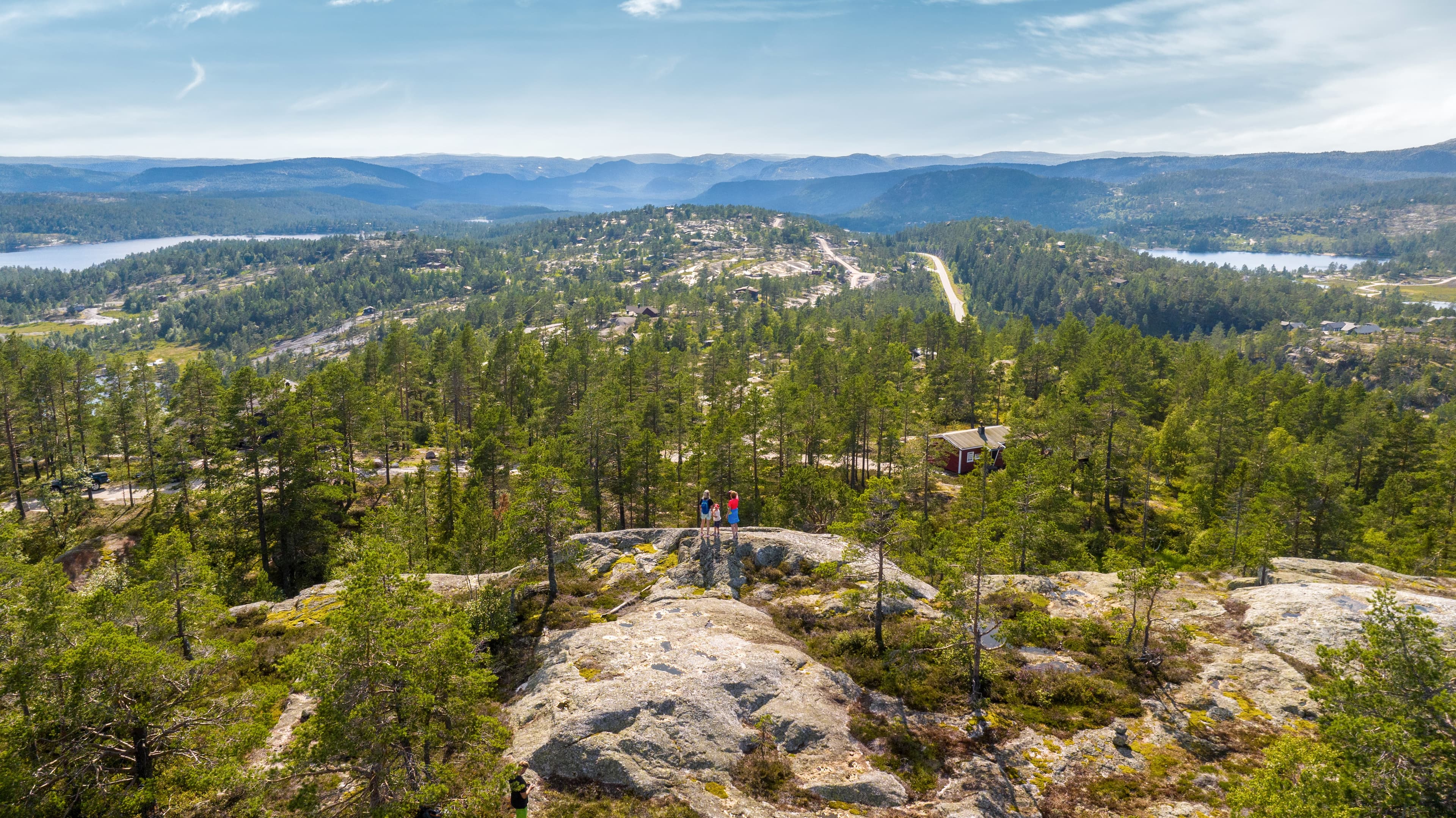
Guided hike with the landowner at Gautefallheia Sverre Tveit
Felehovet Sør 1, 3855 Treungen
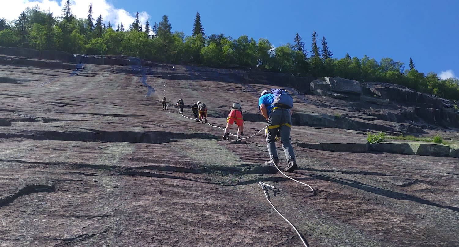
Via Ferrata in Fyresdal
Telemark Camping, Fyresdal, Norge
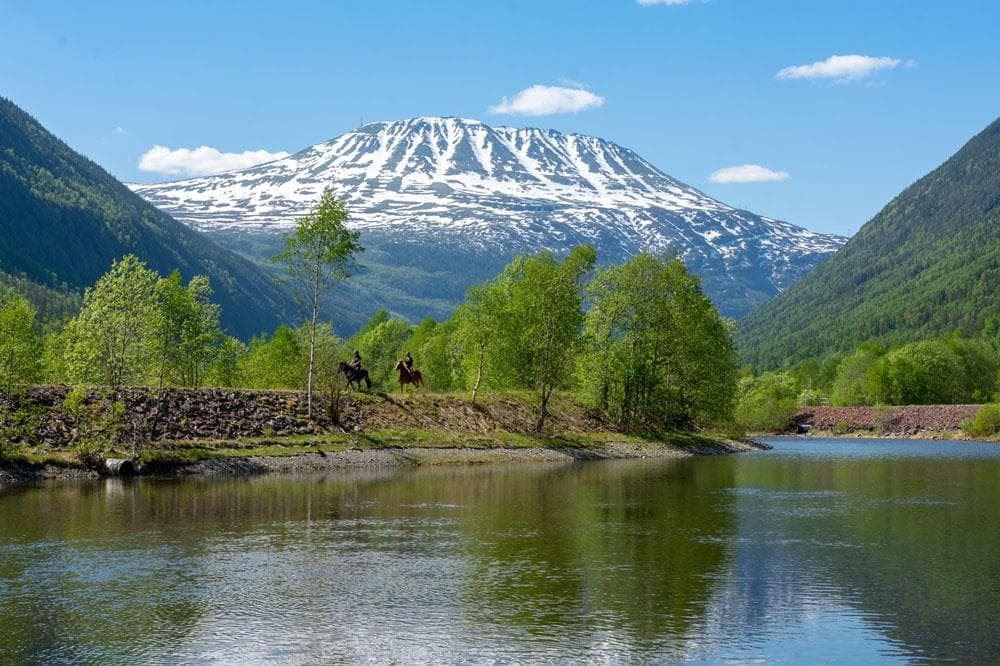
Gaustatoppen
Stavsro, 3660 Rjukan

Bø Sommarland Waterpark
Steintjønnvegen 2, 3800 Bø i Telemark
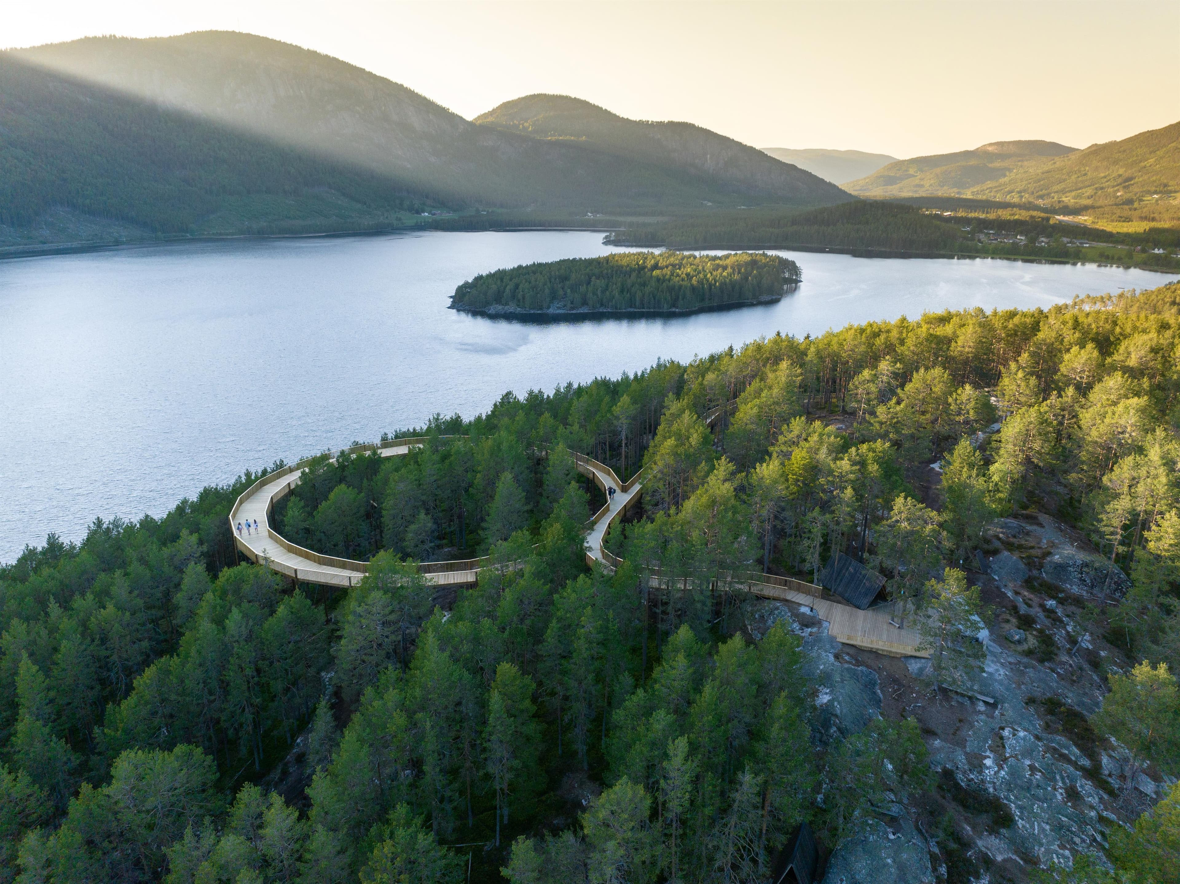
Hamaren
3870 Fyresdal
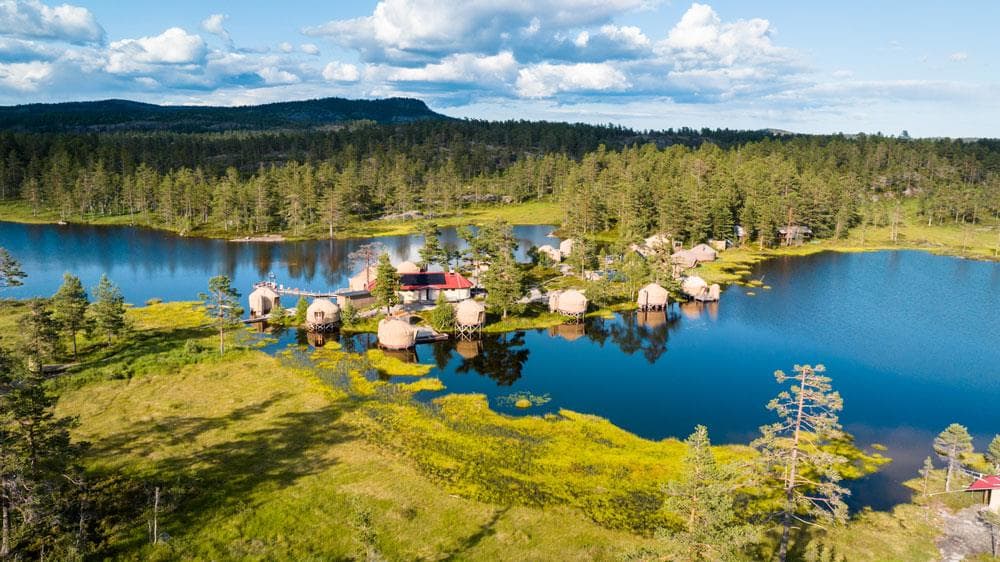
Norrøna Canvas Telemark
Heimdal, 3855 Treungen
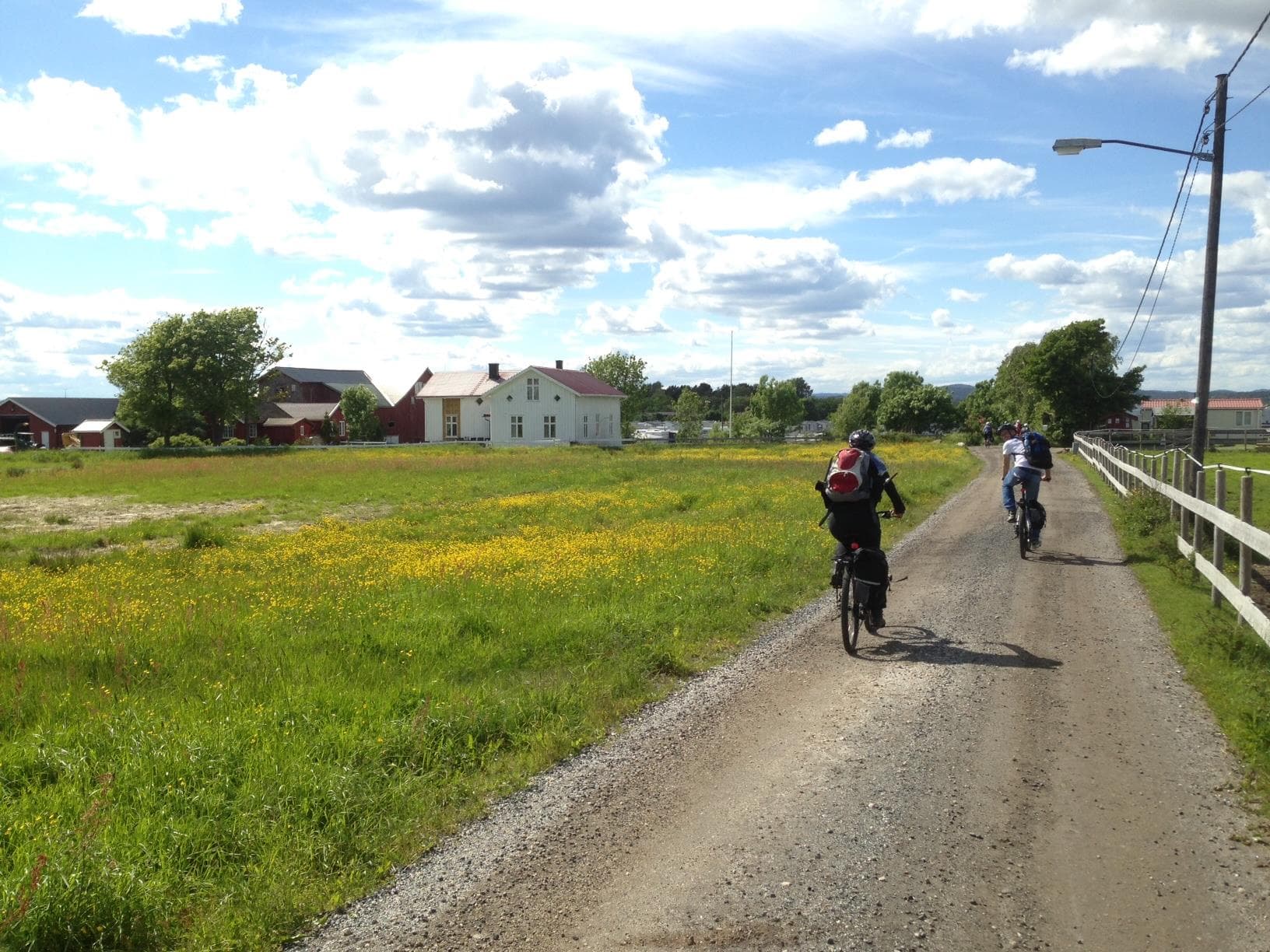
Island hopping with bicycle
3770 Kragerø

Haukeli Husky
Arabygdvegen 800, 3864 Rauland
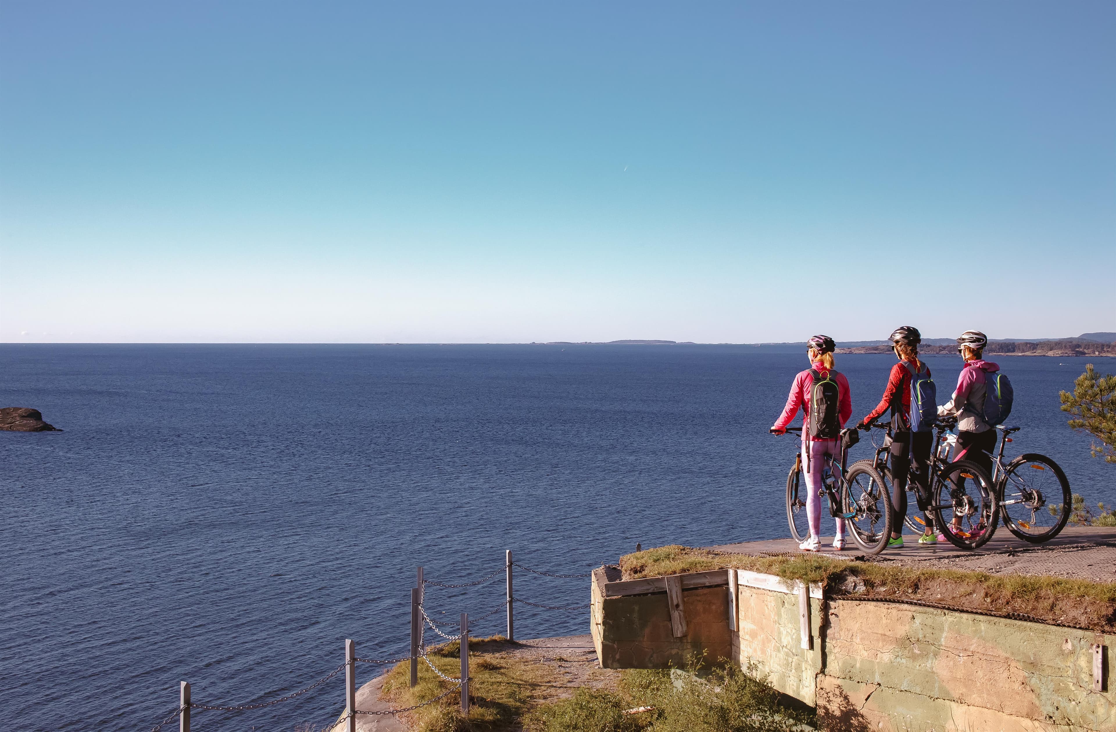
Skjærgårdsruta - The archipelago route
Stathellevn. 35, 3970 Langesund
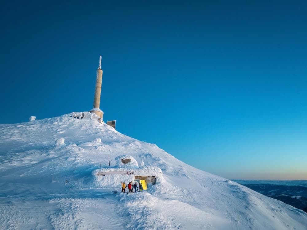
Off piste from Gaustatoppen
Gaustatoppen, 3660 Rjukan
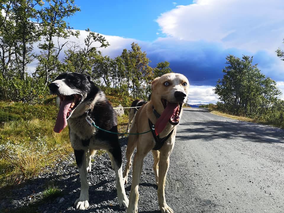
Telemark Husky Tour
3864 Rauland
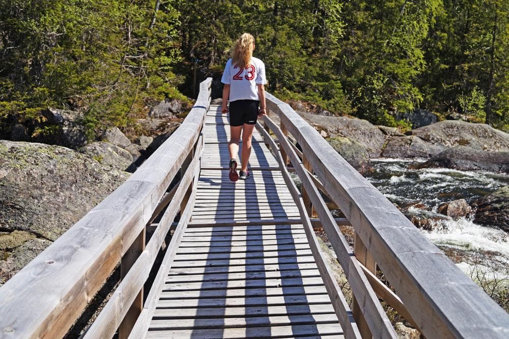
Mjonøy - Smorklepp Art Museum - Sorensen and Kihle
Mjonøy, 3890 Vinje
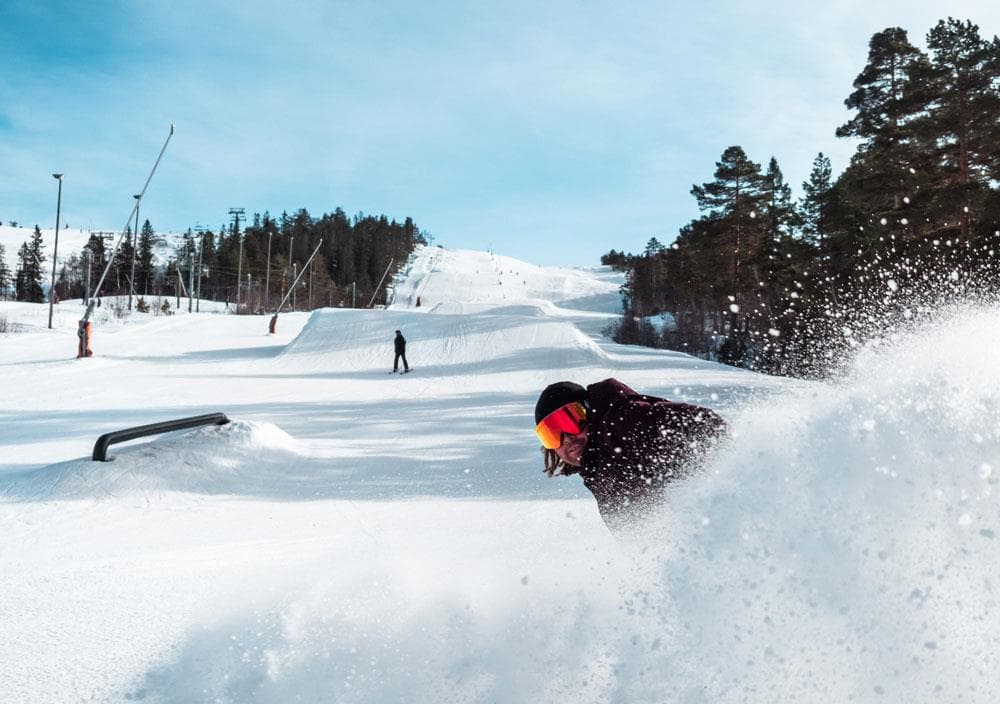
Gautefall Ski Resort
Gautefallheia, 3750 Drangedal
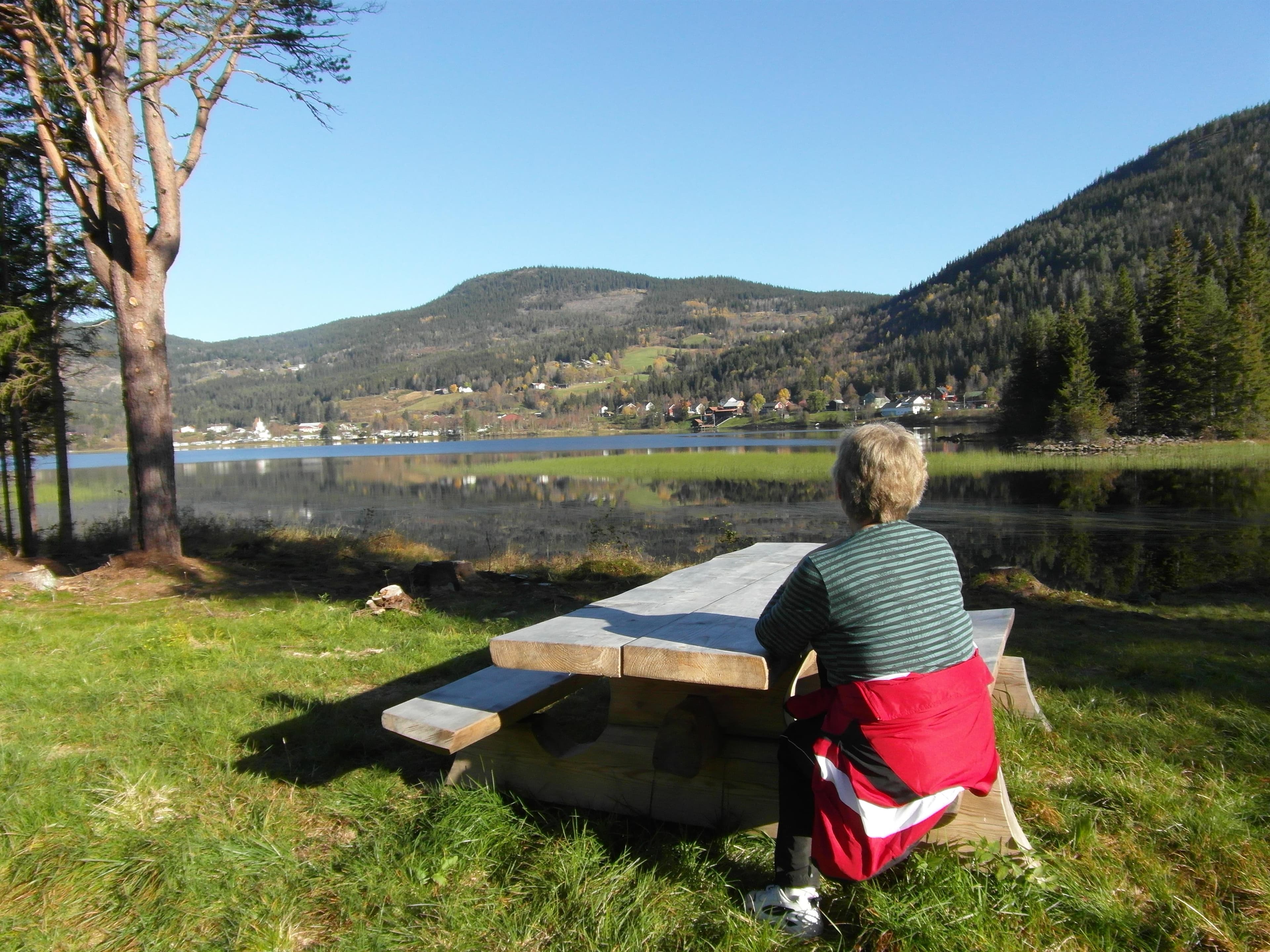
Hjartdal - Bjårvatn
Fossehalli, ungdomshuset i Tuddal, 3697 Tuddal
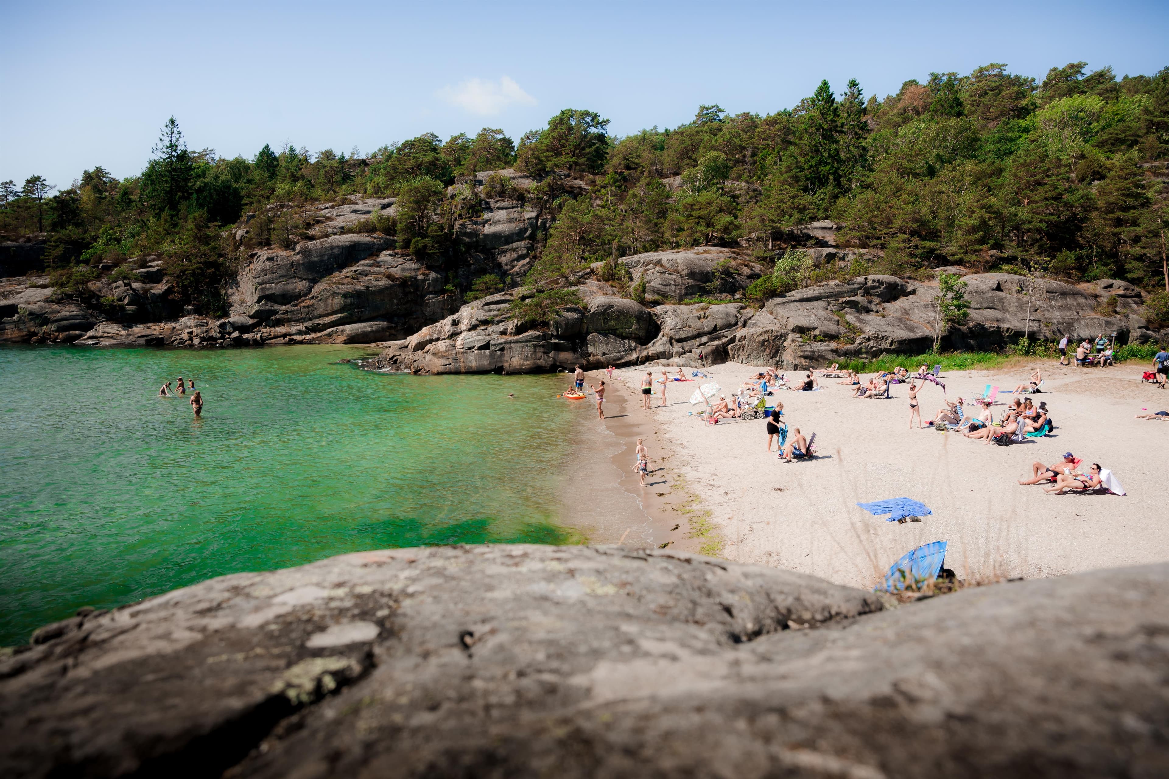
Hydrostranda - Bamble
3960 Stathelle
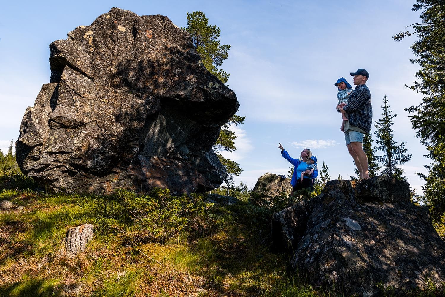
Kjerringstein trail
Hotellvegen 100, 3697 Tuddal
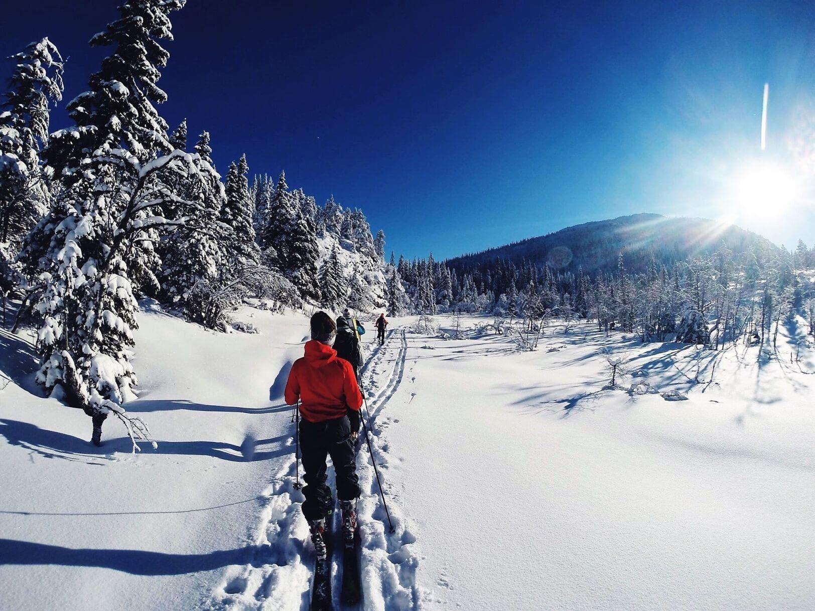
Morgedal Activ
Bygglandvegen 39, 3848 Morgedal

Lifjell Ski Resort
Lifjellvegen 833, 3804 Bø i Telemark

Nearby activities
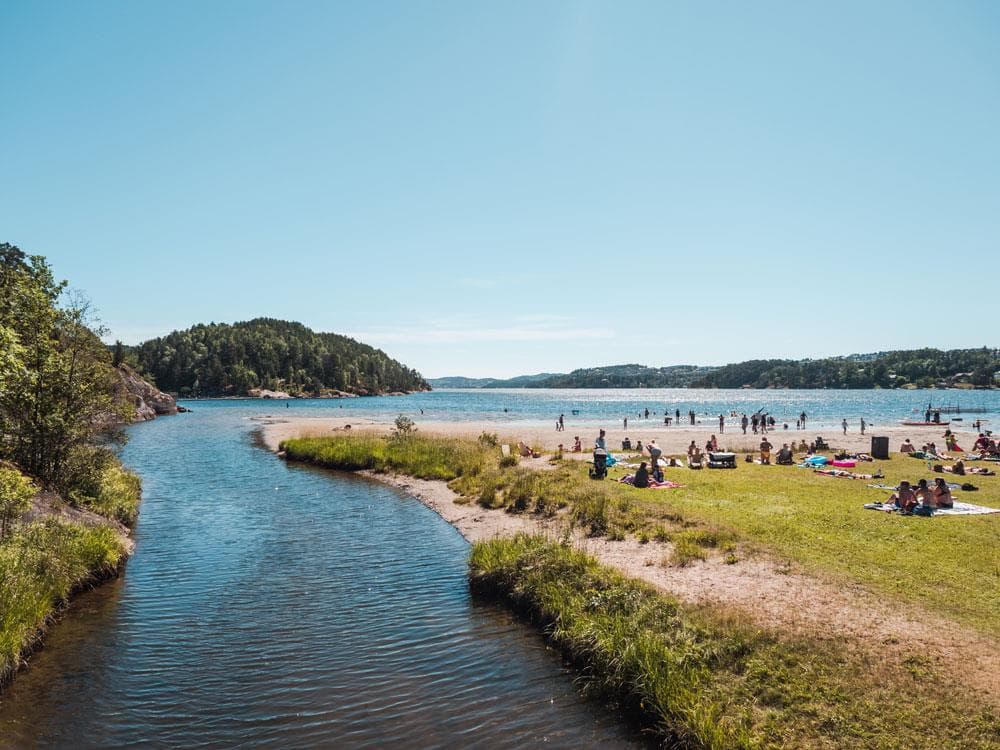
Olavsberget swimming spot
Nystrandveien 64, 3944 Porsgrunn
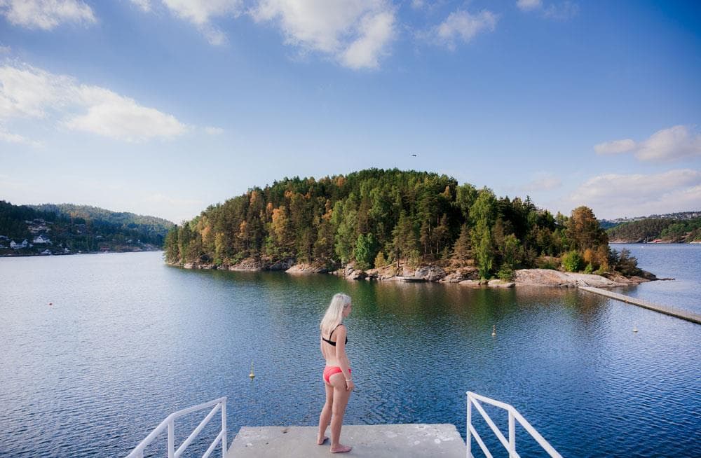
Kattøya
Nystrandveien 64, 3944 Porsgrunn
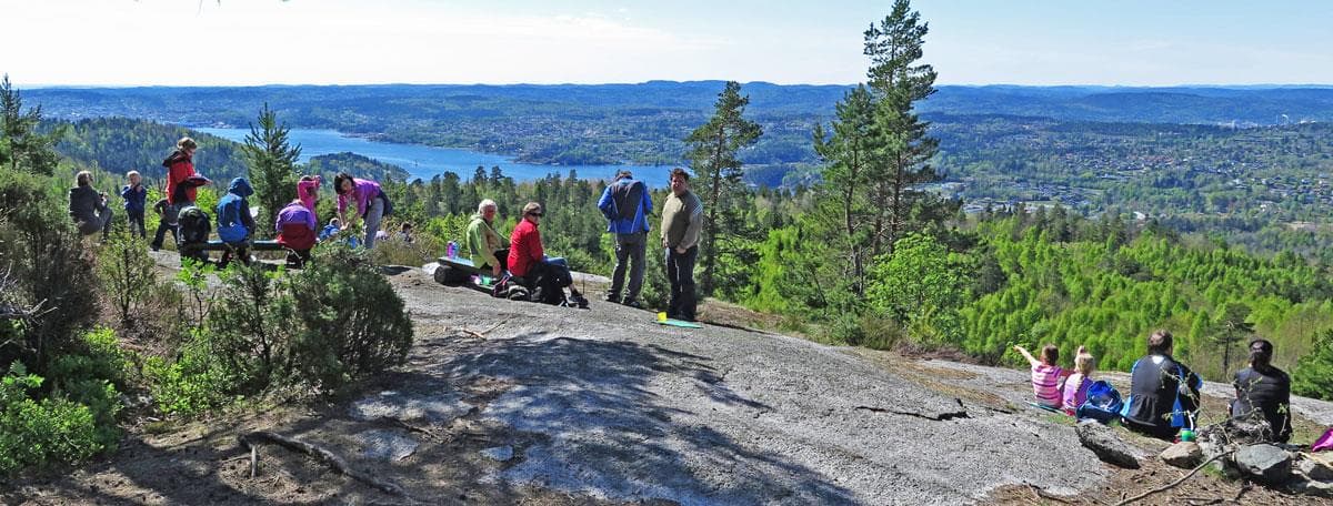
Valås
3941 Porsgrunn
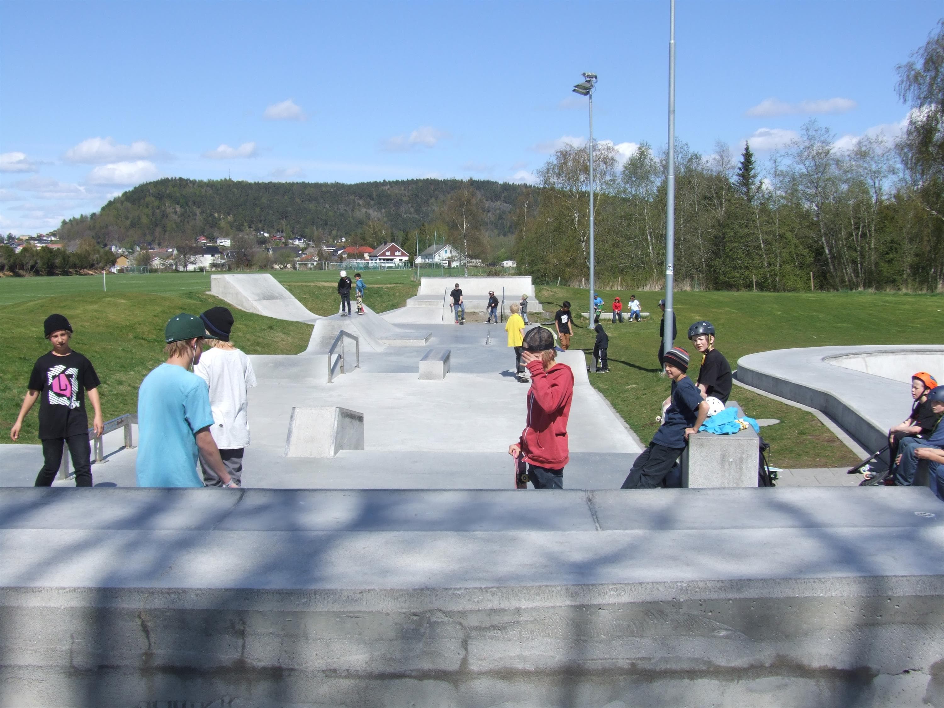
Porsgrunn Skatepark
Kjølnes Ring 60, 3916 Porsgrunn

Kjølnesbadet
Kjølnes Ring 60, 3918 Porsgrunn
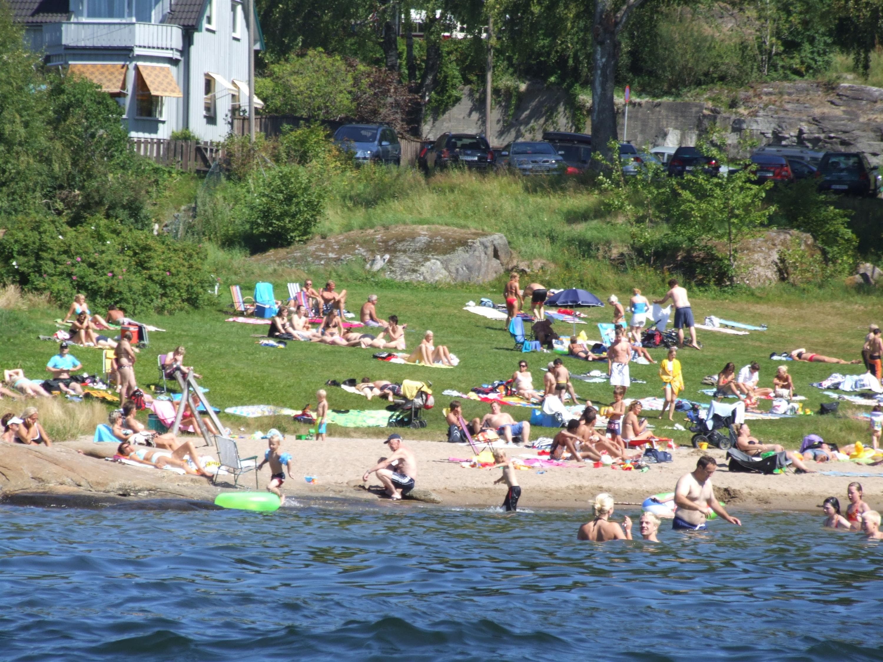
Røra swimming spot
Bergsbygdaveien, 3946 Porsgrunn
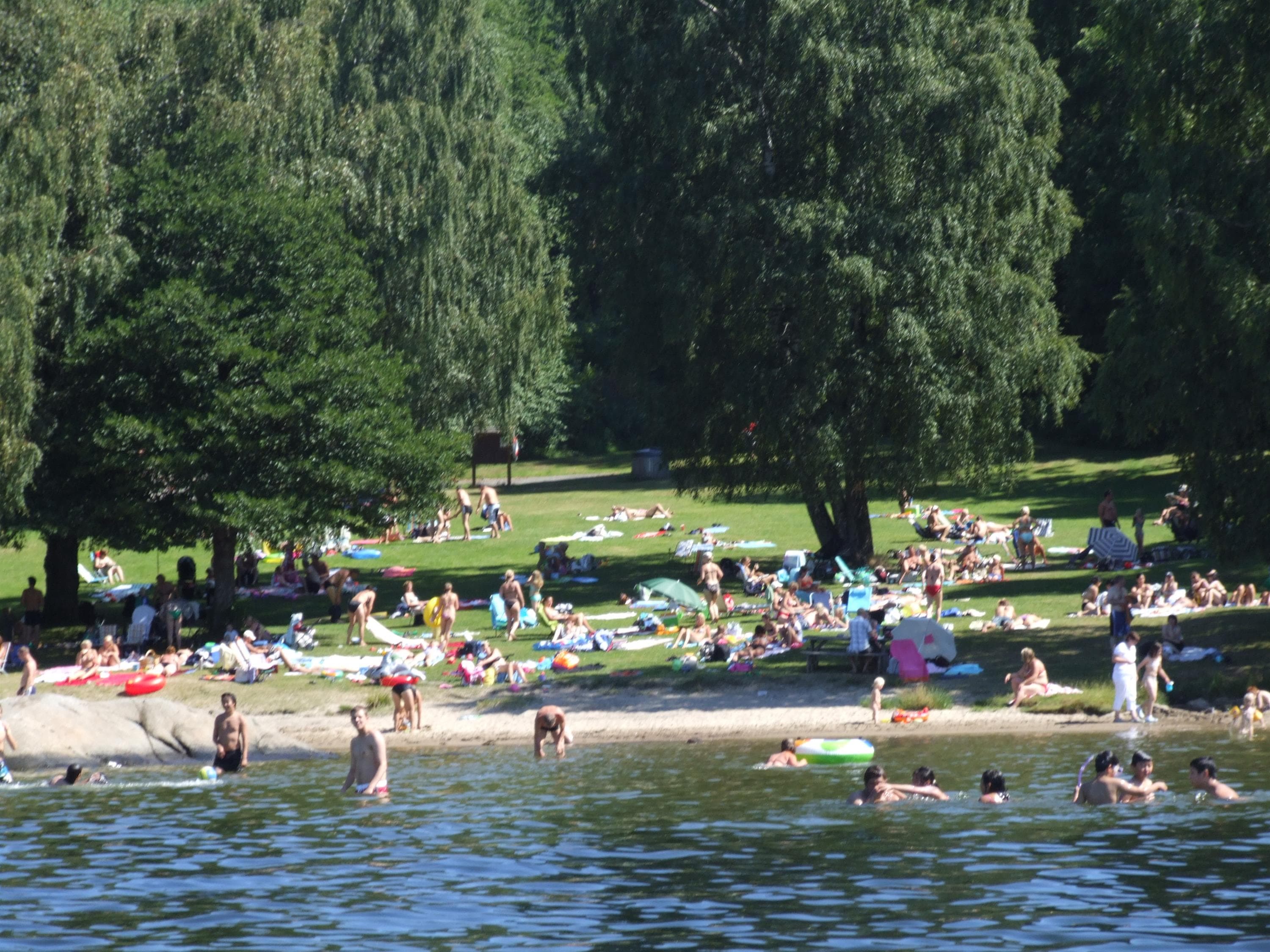
Brønnstadbukta swimming spot
3901 Porsgrunn

Juleglød i Prosgrunn
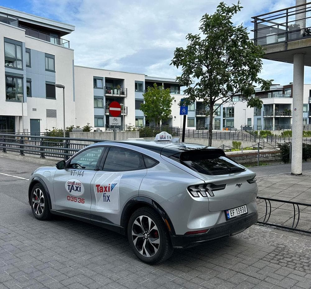
Grenland Taxi
3915 Porsgrunn

Comfort Hotel™ Porsgrunn
Comfort Hotel Porsgrunn, Kammerherreløkka 3, 3915 Porsgrunn

The playground in Rådhusparken
Rådhusparken, 3915 Porsgrunn
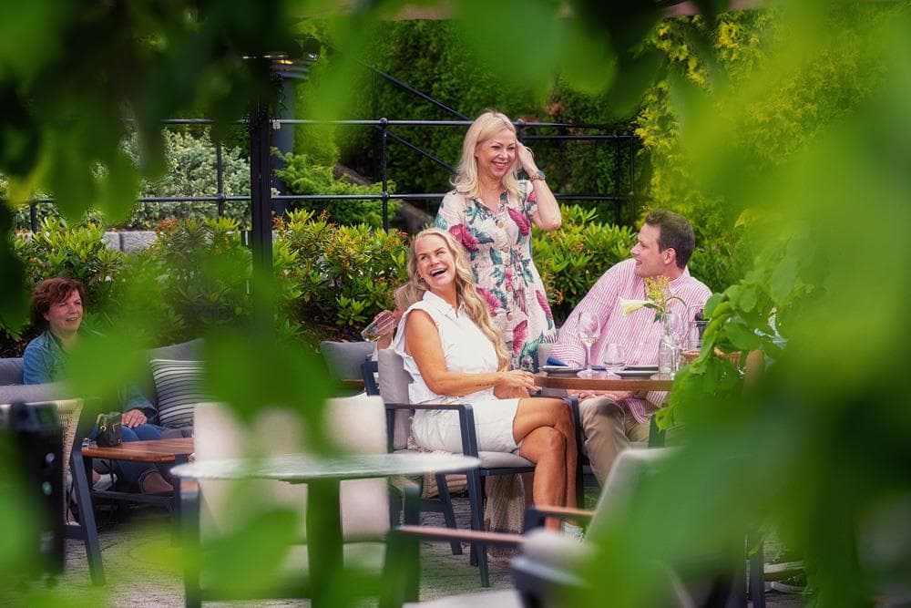
Becks Brasserie & Bar Osebro
Storgata 176, 3915 Porsgrunn

Dry Aged Onsdag på Becks Osebro

Ælvespeilet Kafé & vinbar
Elvespeilet, Storgt. 164, 3915 Porsgrunn
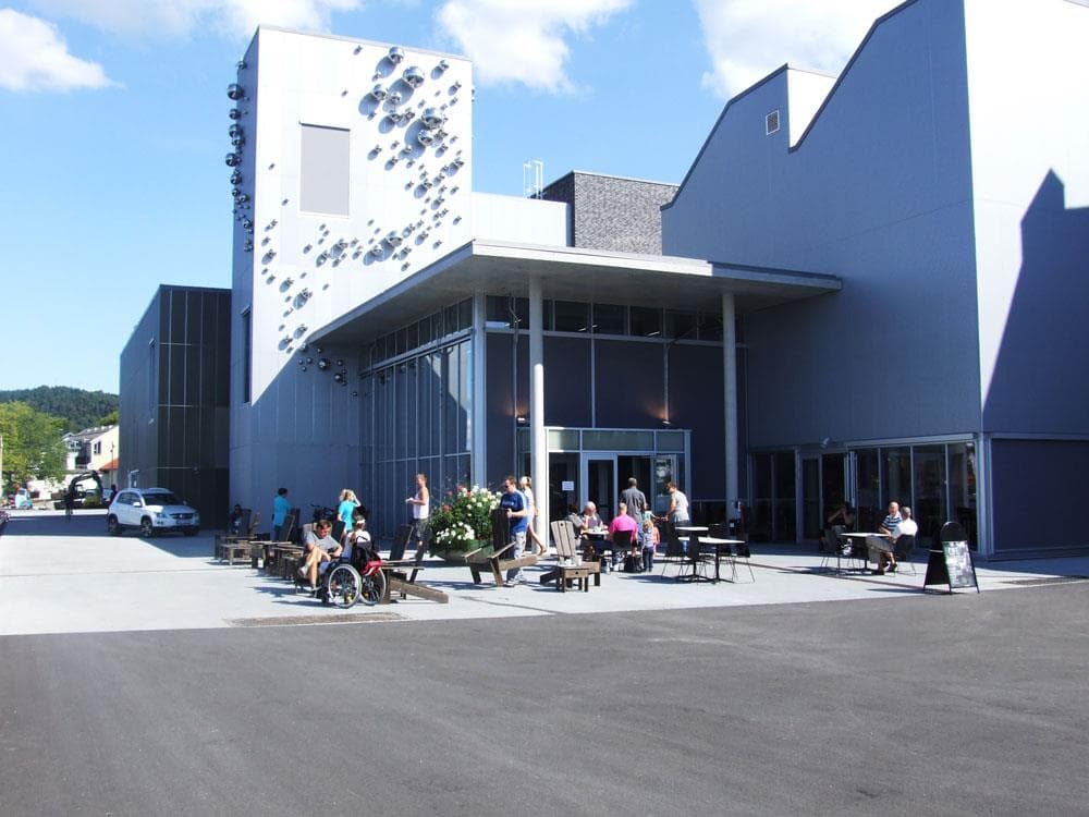
Kulturhuset Ælvespeilet
Storgt. 164, 3915 Porsgrunn
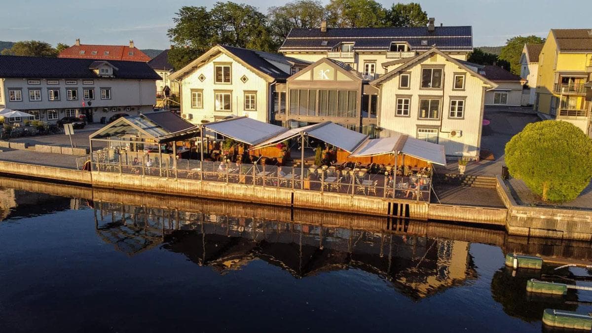
Kafe K
Storgata 174 C, 3915 Porsgrunn