Våmur View Point
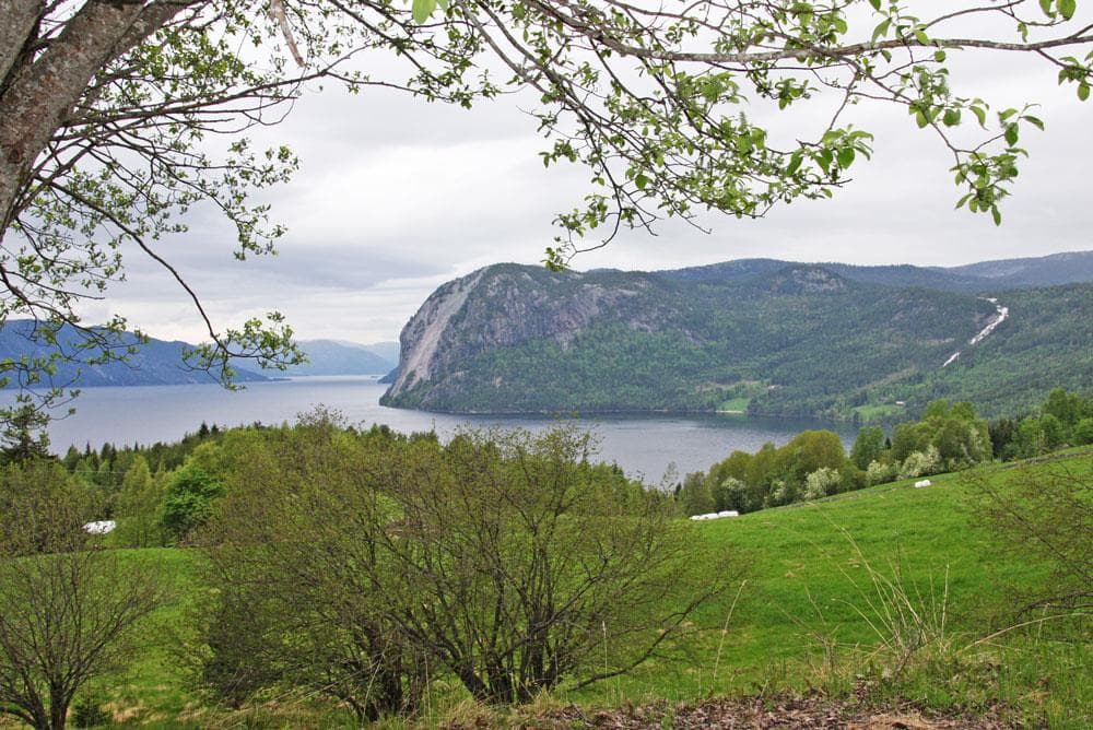
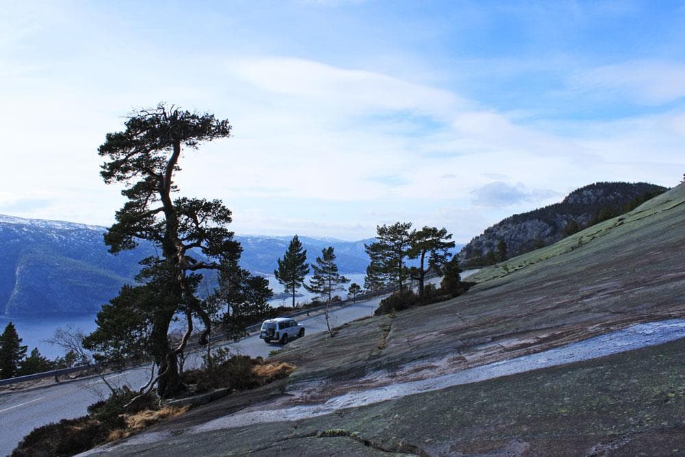
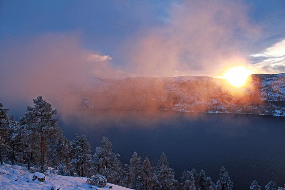
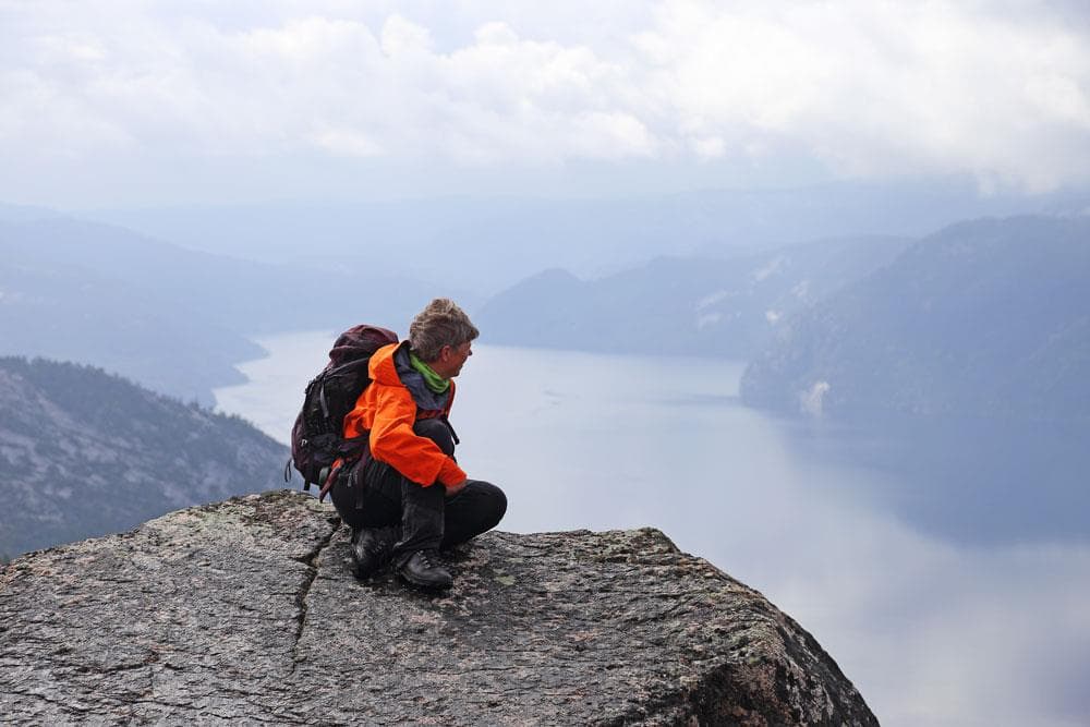
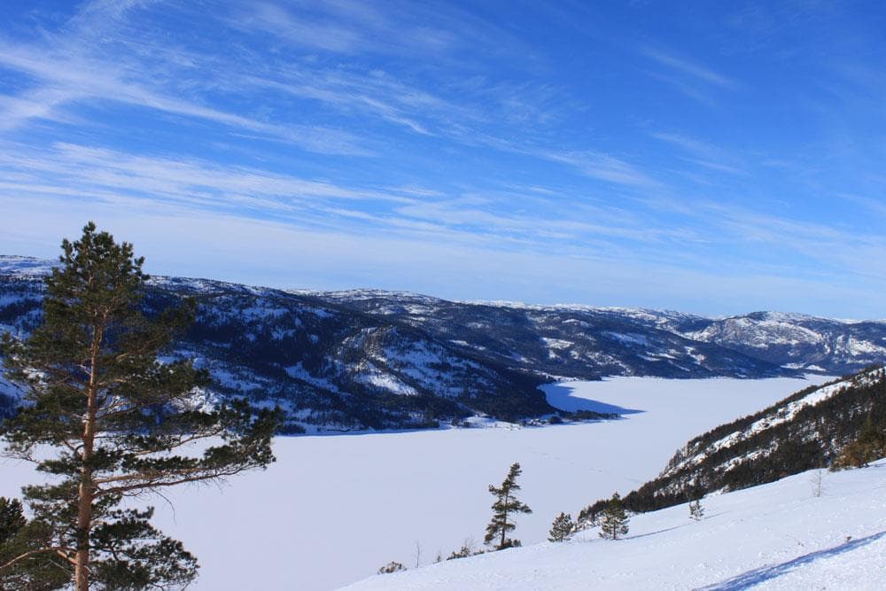
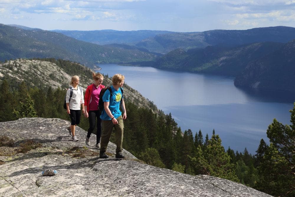
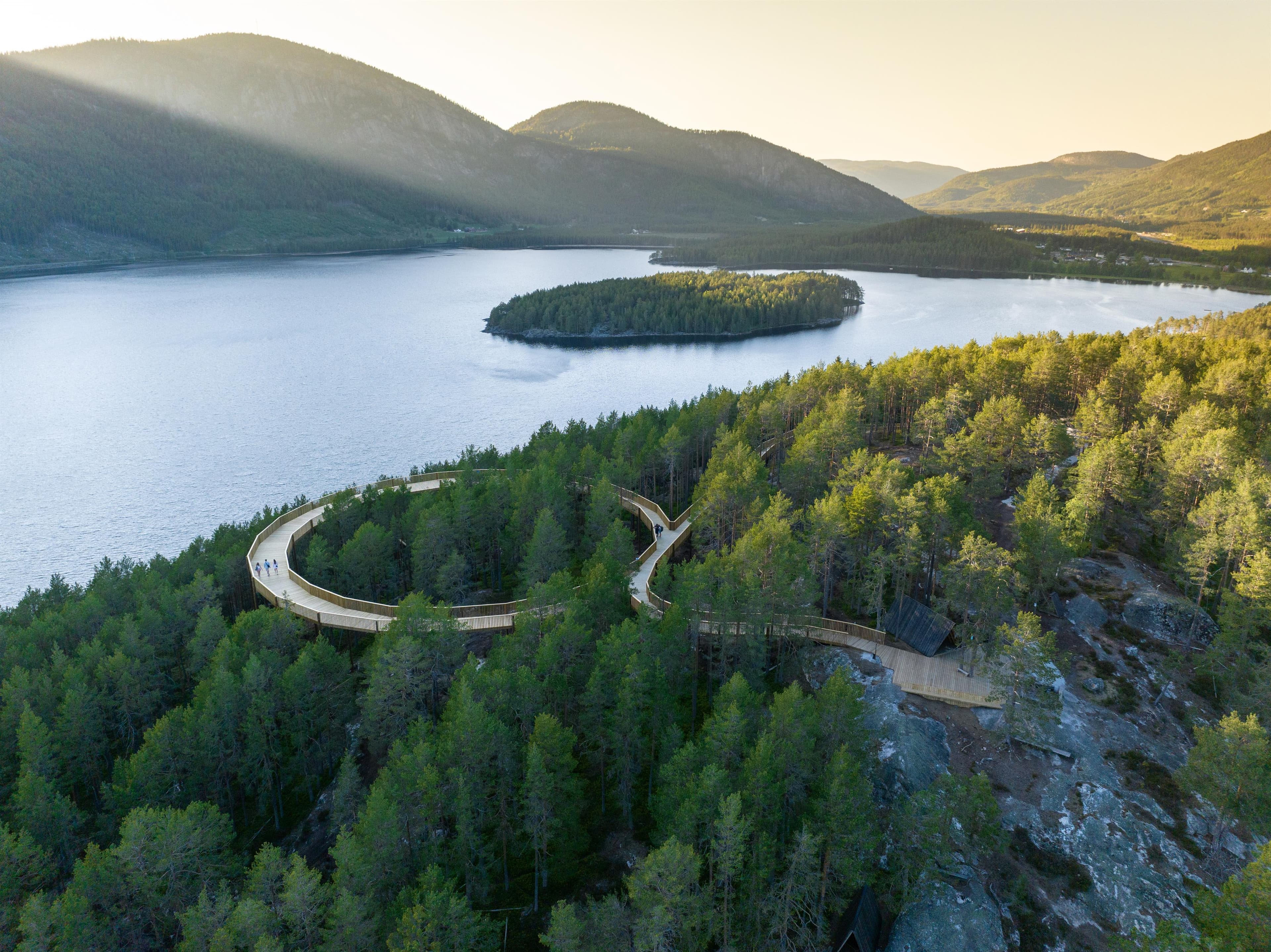
Våmur Viewpoint in Telemark, where steep mountain sides meet majestic Fyresvatn. Enjoy the panoramic view and let the beauty of nature take your breath away
About
Våmur Viewpoint between Fyresdal and Kilegrend
In this Telemark "Vestland," Våmur unfolds, an impressive area between Fyresdal center in the north and Kilegrend in the south. Explore Våmur to experience its wild, steep nature, where mountain sides and rocks evoke the essence of Western Norway, with Fyresvatn extending like a majestic fjord into the landscape.
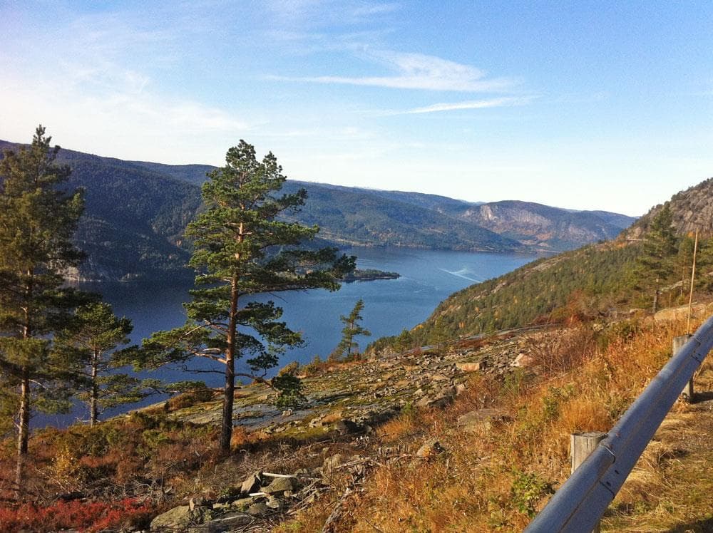
Panoramic Views from 400 Meters Above Fyresvatn
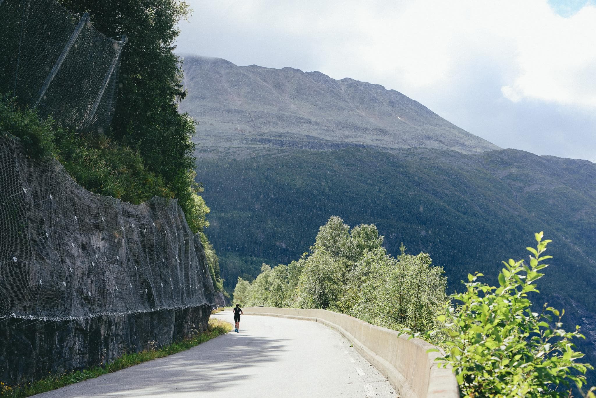
At the road's peak, 400 meters above Fyresvatn, a spectacular view unfolds. With Fyresvatn's deepest point at 370 meters, this height offers a unique perspective on nature's scale and power, with the road clinging to the mountain 100 meters below sea level.
The History of Våmur – From Bridle Paths to Tourist Road
Throughout history, travelers between Fyresdal center and Kilegrend faced challenges, from navigating water in summer to icy roads in winter. The bridle path over the mountain was demanding. In 1876, significant progress came with the inland boat D/S Fyresdal, but it was only in 1950 that the road over Våmur was completed. This not only marked easier transportation but also the establishment of a magnificent tourist road.
Nearby events
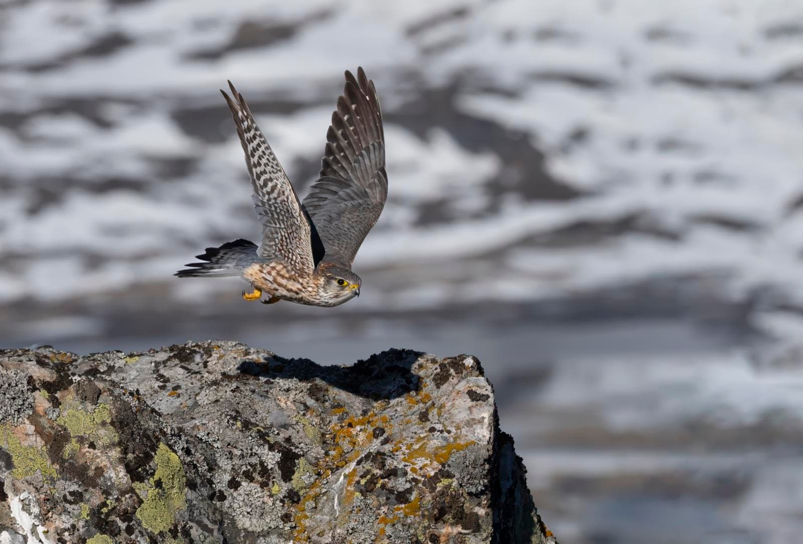
Opening of new falcon exhibition
Hardangervidda nasjonalparksenter, Skinnarbu, 3660 Rjukan
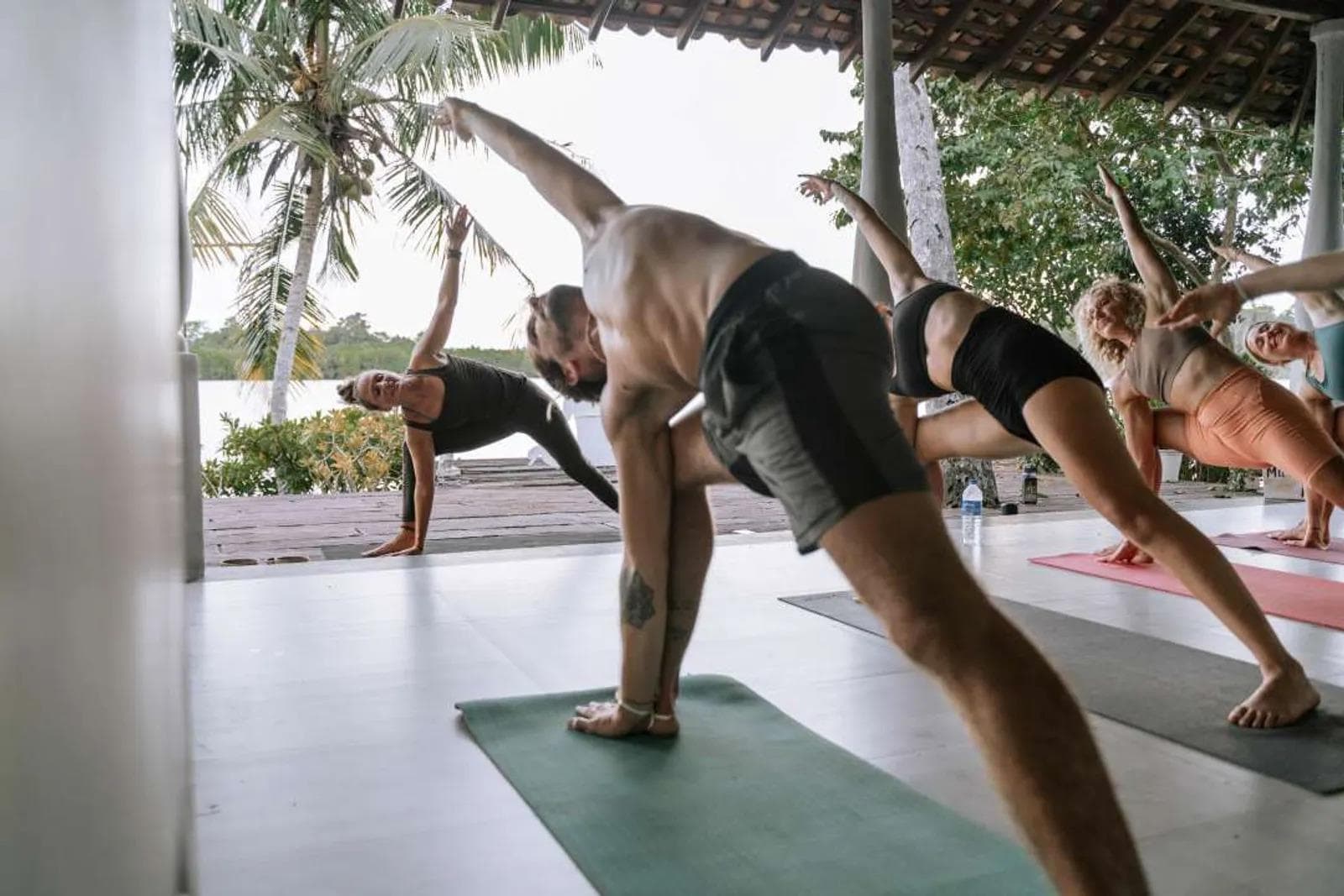
Yoga retreat på Gaustablikk Fjellresort
Gaustablikk Fjellresort, 3660 Rjukan
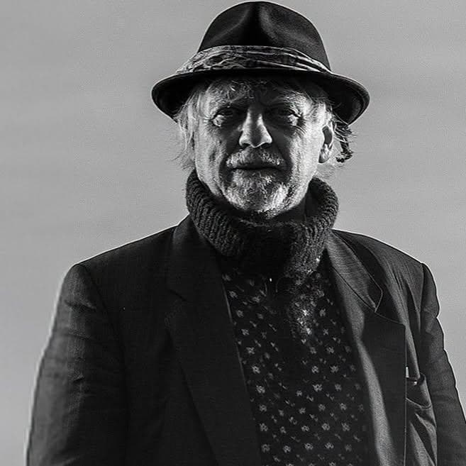
Trond Granlund – Intimate concert and dinner
Rjukan Admini Hotel, 3660 Rjukan


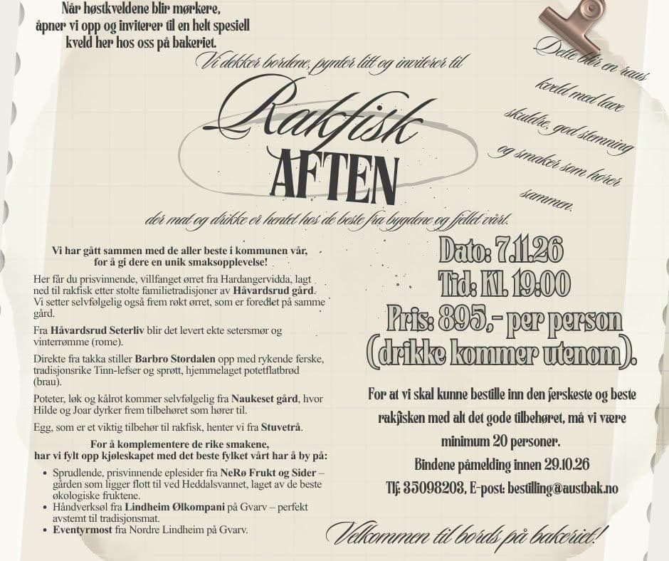
Rakfisk Evening at Austbygde Bakery
Mogan 2, 3650 Tinn Austbygd



Atle Pettersen - Christmas concert in Rjukan church
Kirkebakken 1, 3660 Rjukan
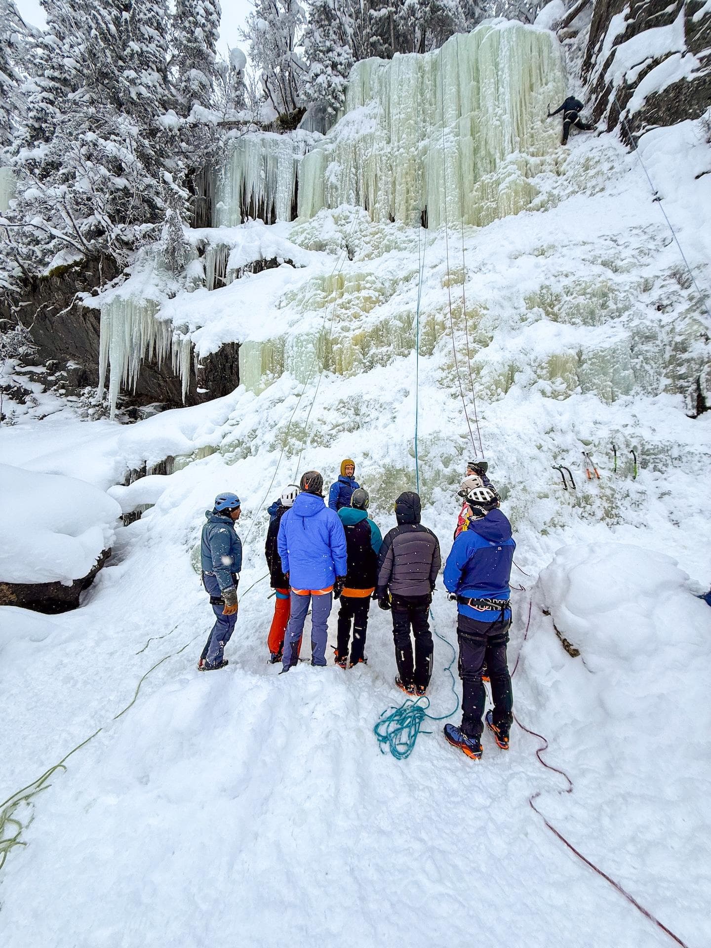
Ice climbing with Rjukan Adventure
Skriugata 26, 3660 Rjukan

Christmas concert with Herborg Kråkevik at Vemork
Vemork, 3660 Rjukan


Norrøna Ice Festival 2027
Rjukan, 3660 Rjukan
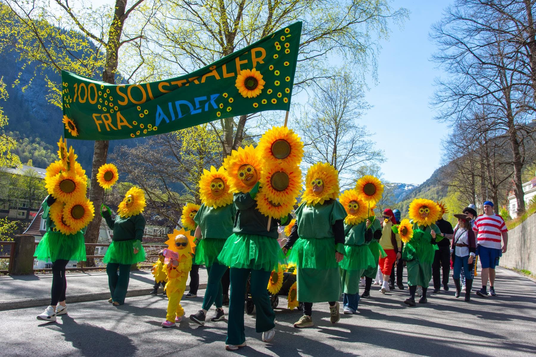
Sunfestival in Rjukan
Torget 2, 3660 Rjukan
Nearby activities
Fyrismoen – Kilegrend cabins
Fyresdalsvegen 4909, 3870 Fyresdal
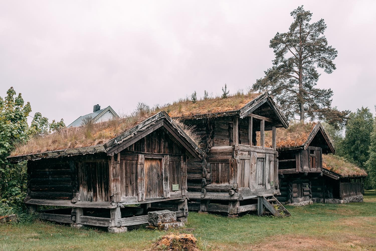
Fyresdal Local History Museum
Meieribakken 1, 3870 Fyresdal
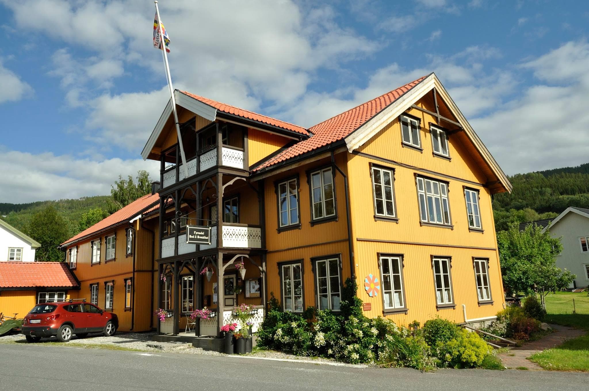
Fyresdal Guesthouse
Lensmannsgata 5, 3870 Fyresdal
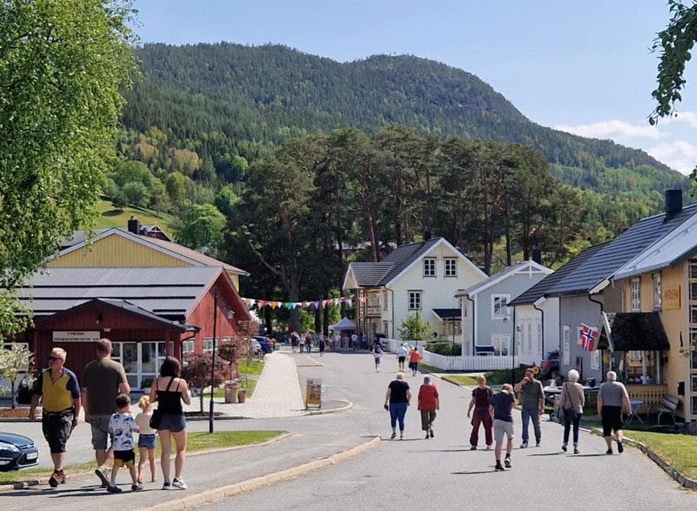
Folkestadbyen.The town of Folkestad
Sentrum, 3870 Fyresdal
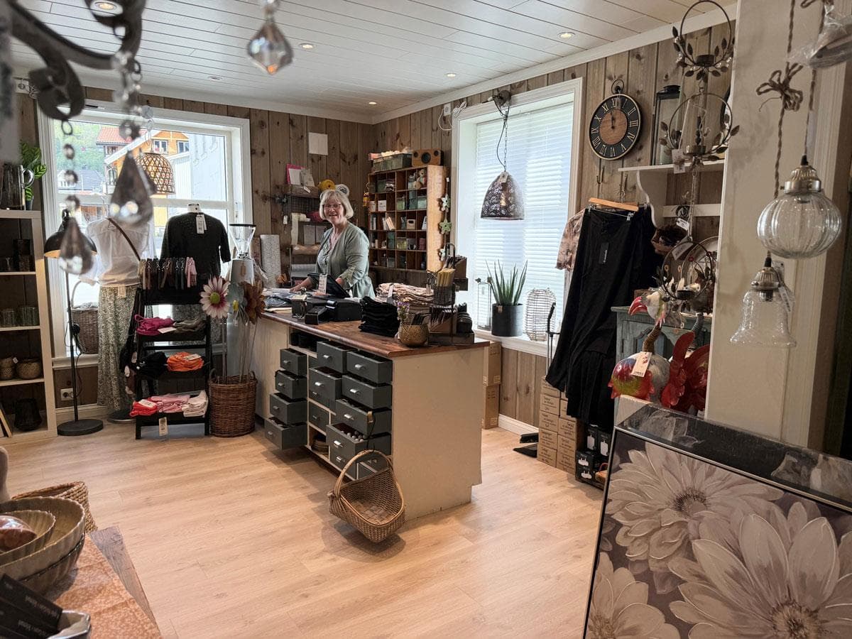
Oleas House
Folkestadgata 17, 3870 Fyresdal
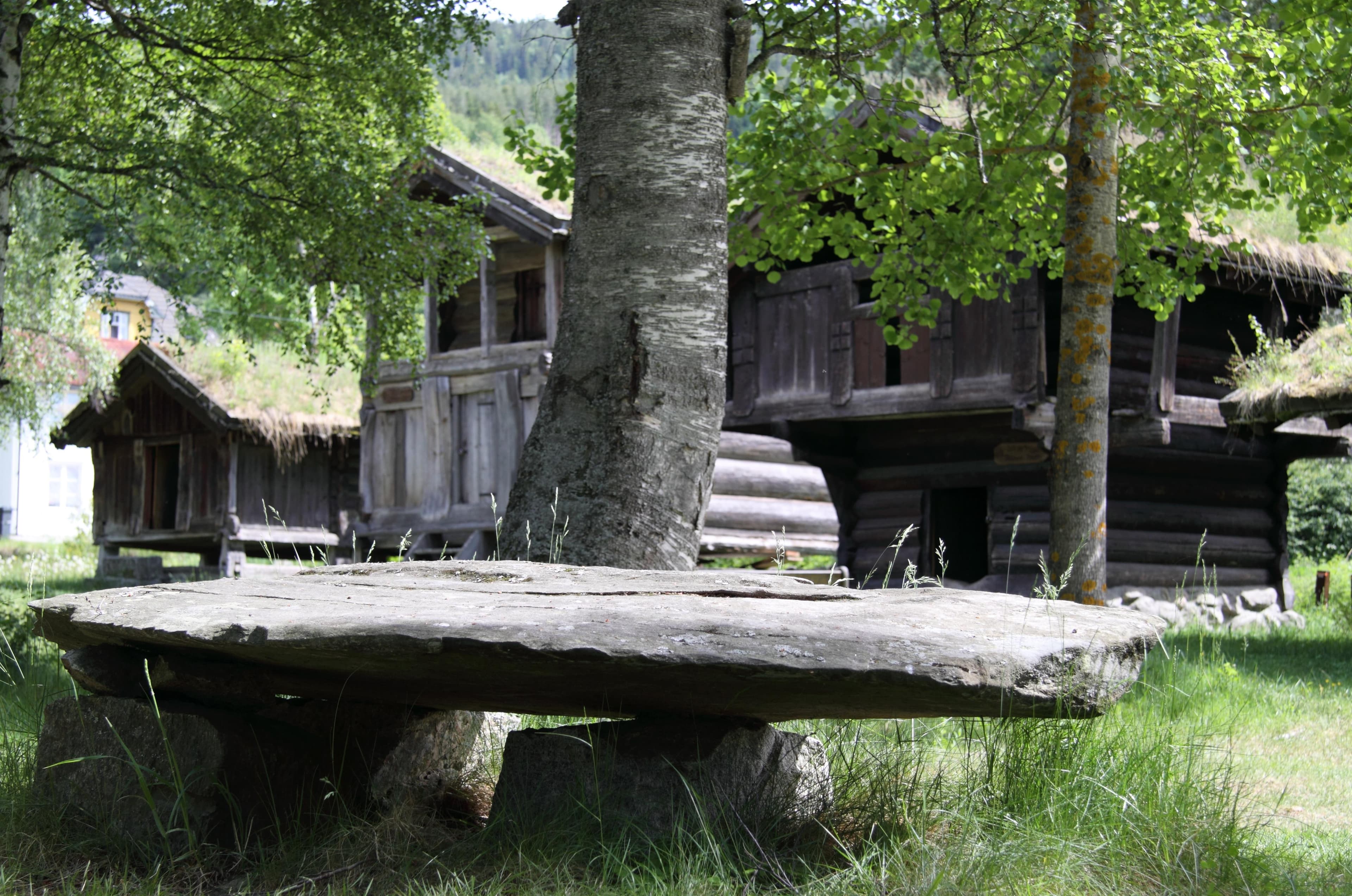
Fyresdal Heritage walk
Fyresdal bygdemuseum, 3870 Fyresdal
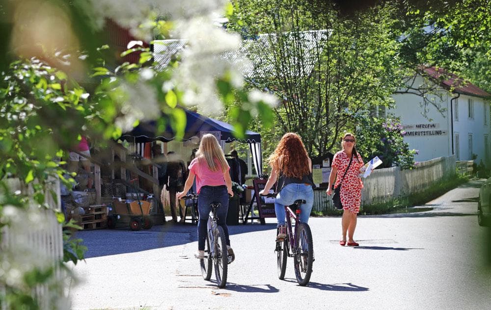
Moland Cultural Heritage Trail
Fyresdal, 3870 Fyresdal
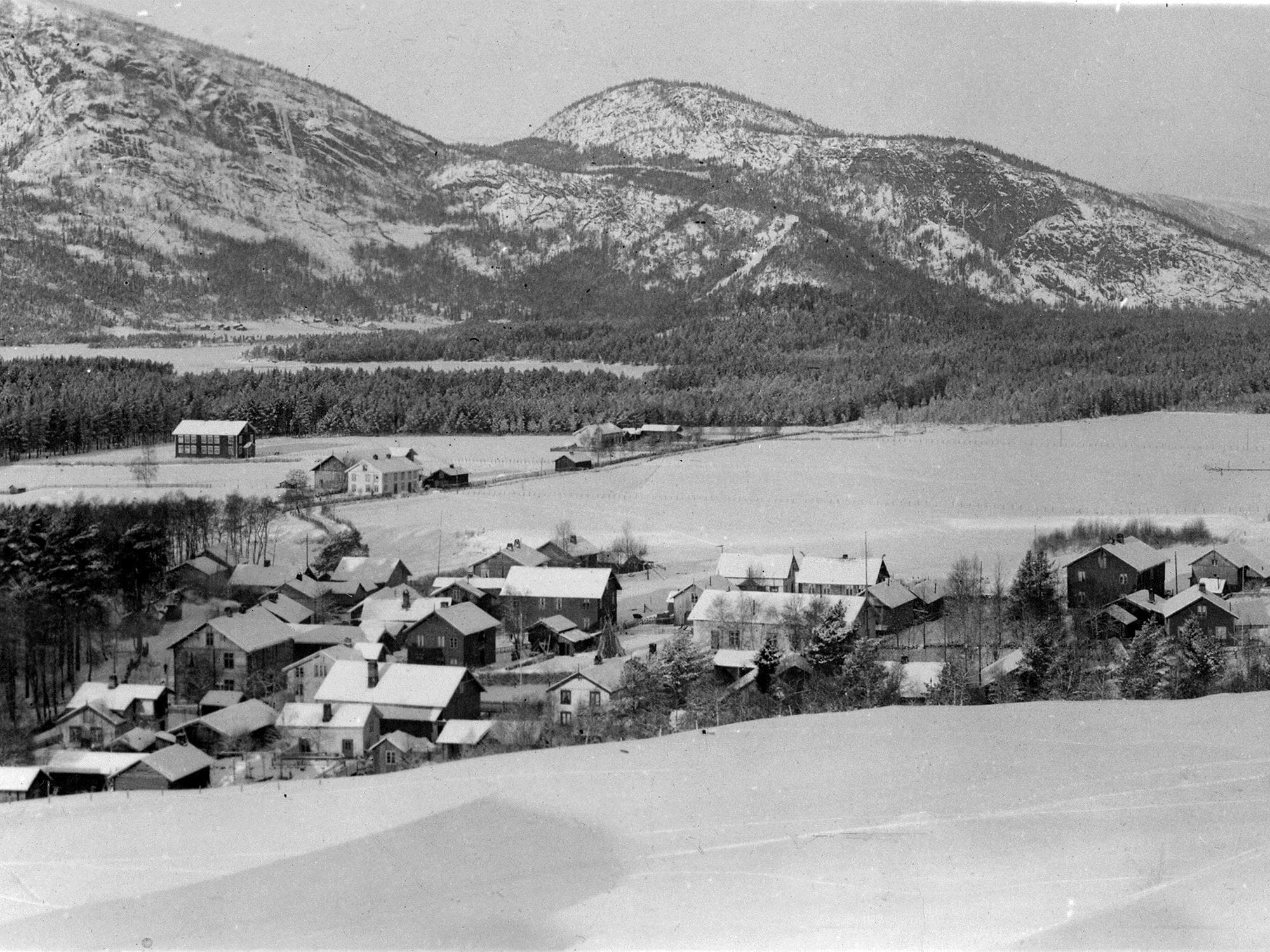
Photographs of life in Folkestadbyen town 1875-1950
Fyresdal bygdemuseum, 3870 Fyresdal
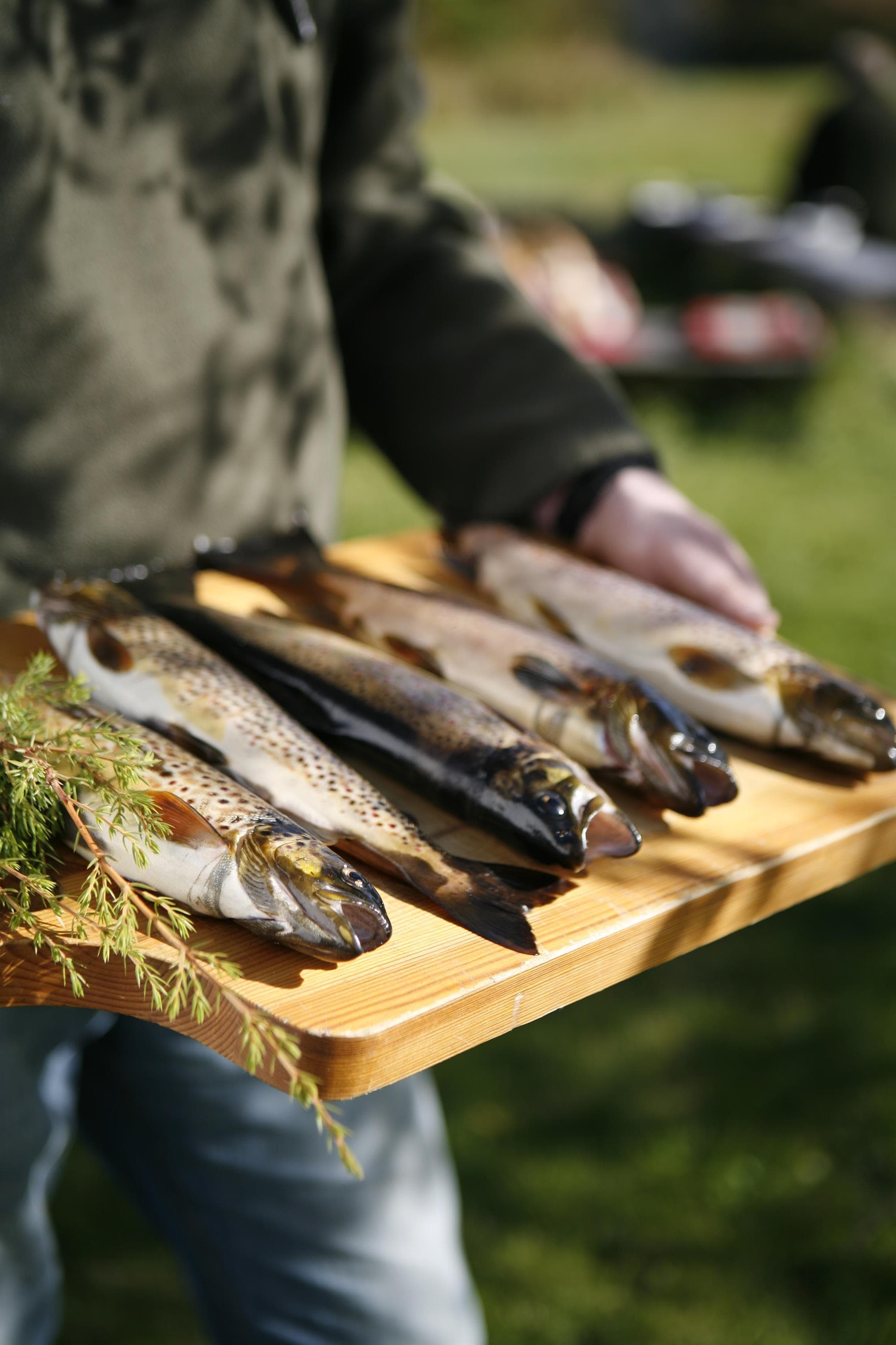
Fishing in Fyresdal
Fyresdal, 3870 Fyresdal
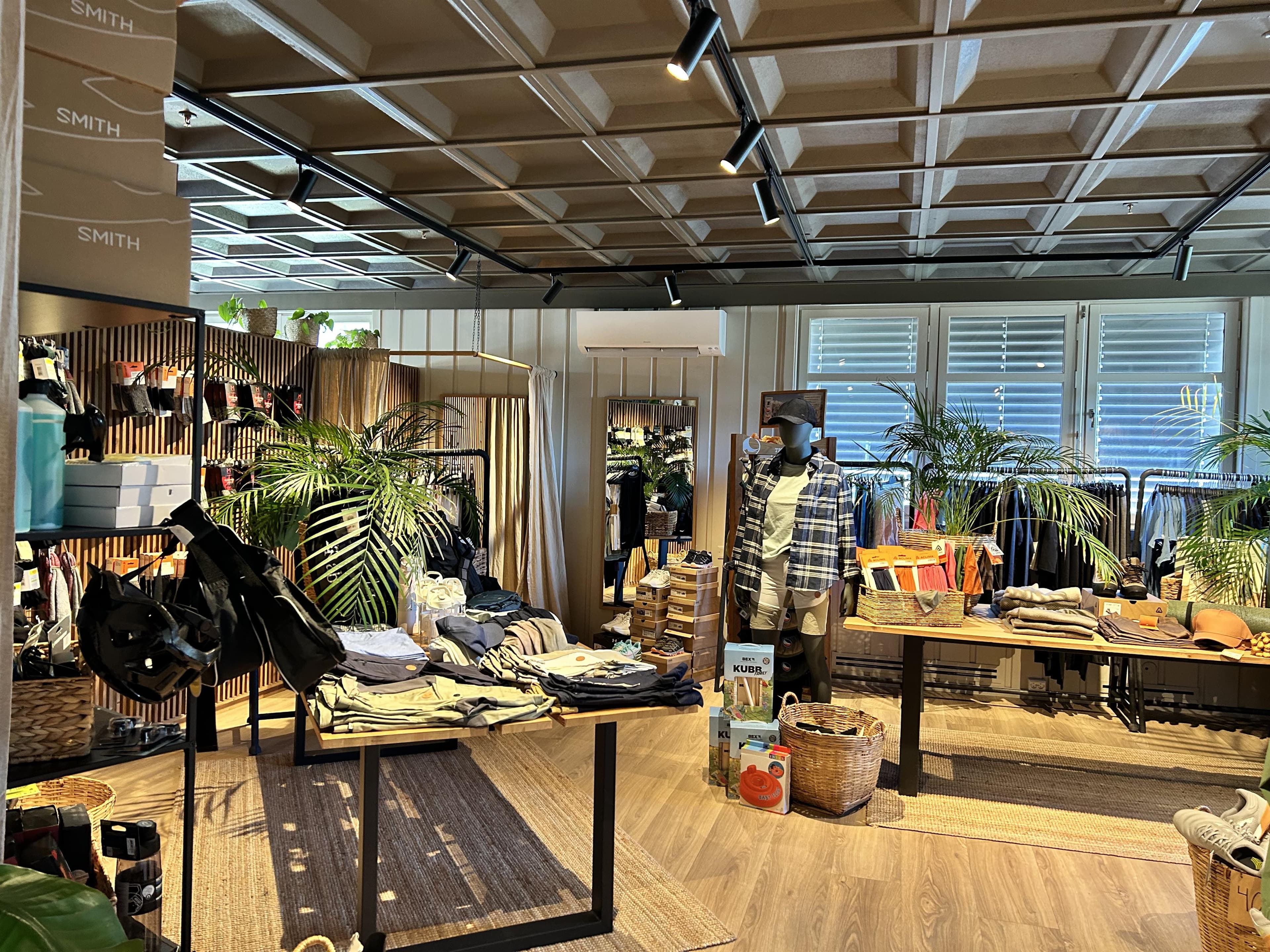
Sporten Fyresdal Sportshop
Folkestadgata 3, 3870 Fyresdal
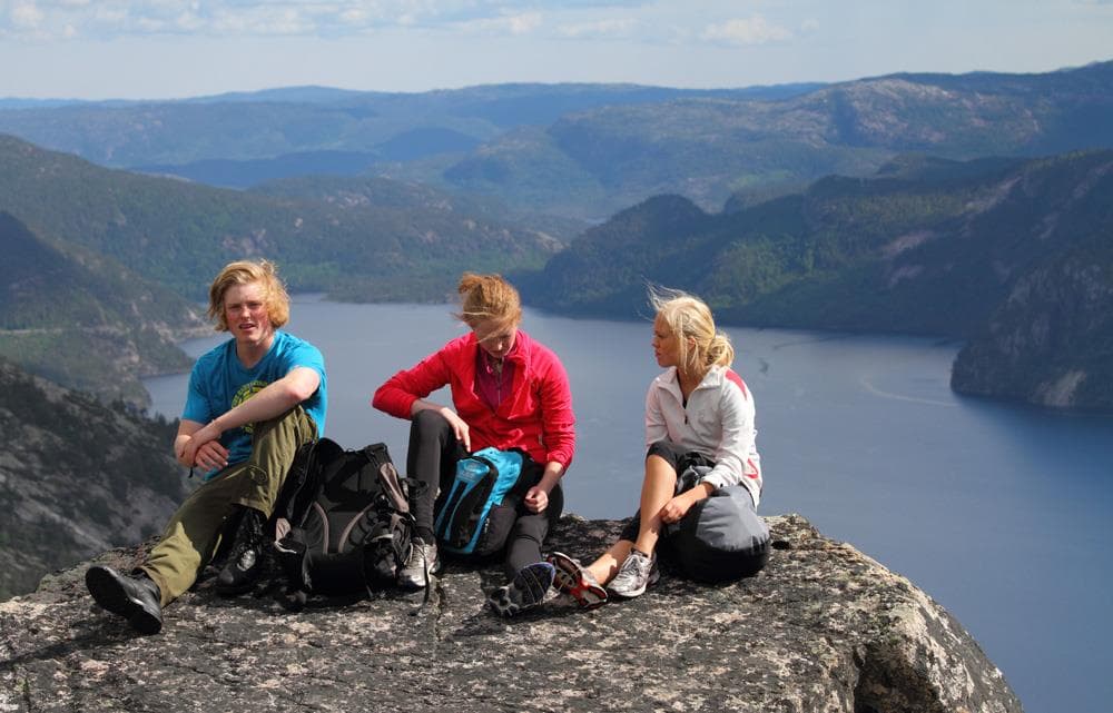
Walking Routes in Fyresdal
Sentrum, 3870 Fyresdal
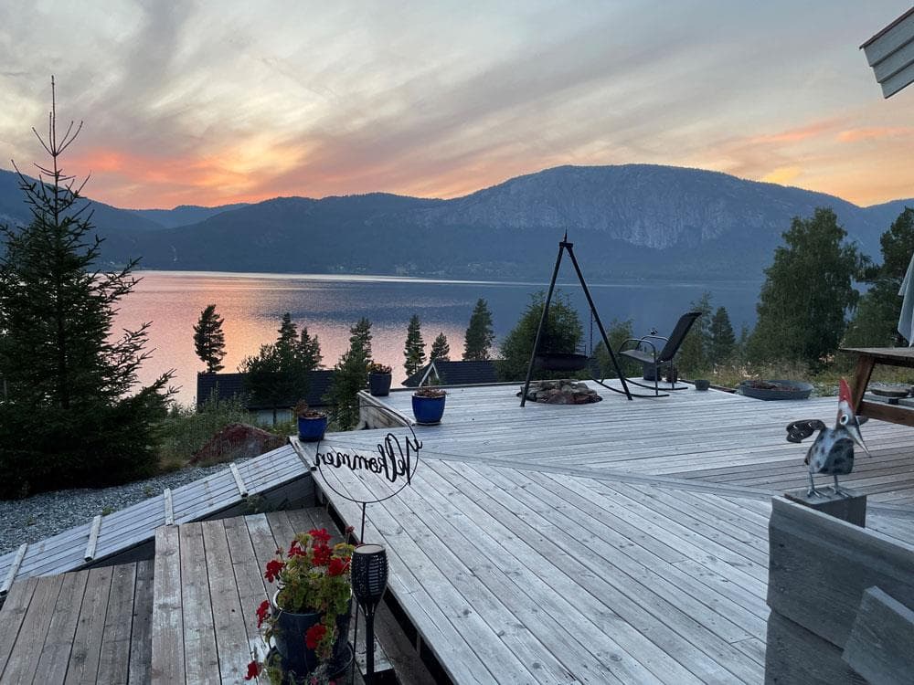
Little Gallery
Folkestadgata 7, 3870 Fyresdal
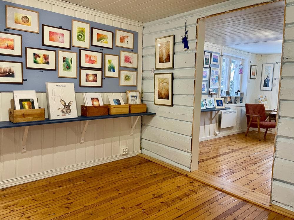
Gallery Merleyn
Folkestadgata 7, 3870 Fyresdal
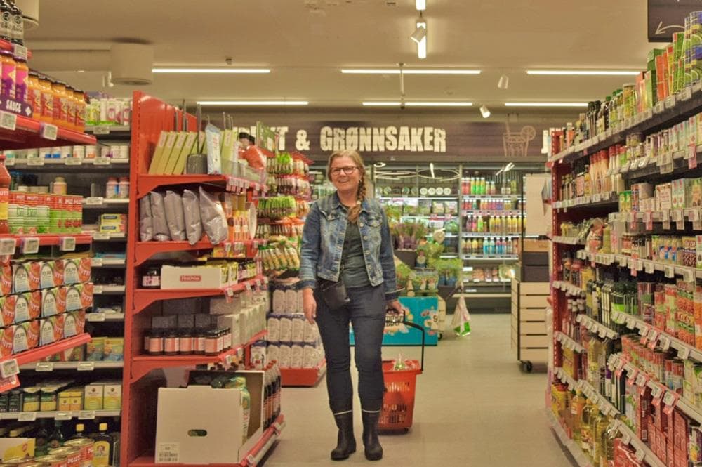
Spar Fyresdal
Folkestadgata 4, 3870 Fyresdal
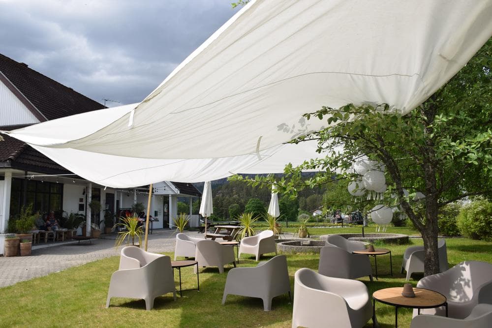
Café Hvelvet
Folkestadgata 3, 3870 Fyresdal
Hamaren Summer Café
Klokkarhamaren 6, 3870 Fyresdal
Hamaren
3870 Fyresdal