To build your own Itinerary, click  to add an item to your Itinerary basket.
Already saved an Itinerary?


Number of results: 165
, currently showing 1 to 20.
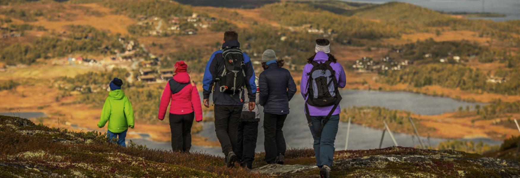
Lifjell has a varied, manifold landscape with high peaks, deep valleys with water, and wild river ravines.
Bø i Telemark
A 7 km walk to a unique rock formation. The trail is steep and difficult, but in return you get to experience a fantastic view.
Bø i Telemark
A fascinating trip quite different from any other hiking destination in Fyresdal.10,3 km roundtrip / 4-5 hours.
Fyresdal
Hiking trails on Bjørkøya take you through a varied and beautiful coastal landscape, through pleasant cottage areas, along beautiful beaches and to viewpoints.
Brevik
The Saboteurs' trail is the world-famous route the Norwegian Resistance used during the Second World War.
Rjukan
Østre Vealøs is an extremely popular area for hiking and boasts one of the highest peaks in the eastern part of Skien.
Siljan
The hike over Stærte follows an old farm track from Siljan to Prestegårdseter.
Siljan
Kragerø Seilforening was founded in 1881 and has long traditions for trips and active sailing. Kragerø Sailing Association is on Saltneven, a small island on the north-west tip of Skåtøy just outside Kragerø city center. Here you will find an…
Kragerø
An enjoyable cycling route where you have the opportunity to see locks, a medieval church, play a round of golf, shop a a farm shop and swim.
Ulefoss
Experience the wonderful islands in the Langesund archipelago. You can jump from island to island, walk or cycle around on idyllic paths and roads.
Brevik
This part of the trail is generally easy and straightforward to go , but can be hilly someplaces . Langesund is well worth a visit before heading out onto the trail.
Langesund
Try Mountain Biking in Nissedal! 100 kilometres of bike path over heath and rock.
Treungen
The Lifjell mountain plateau in the Mid-Telemark region is a vast hiking area of about 200 km2, with more than 20 summits over 1000 meters above sea level.
BØ I TELEMARK
In Vinje Municipality there are hundreds of small and large lakes which together cover an area of 250 km2.
Rauland
This is an easy hike suitable for all the family. Stubbekollen is a summit on the boundary of Siljan and Larvik municipalities.
Siljan
Mainly flat terrain and easily accesible – throughout the whole year.
Ratings & Reviews
Powered By
![]()

© Visit Telemark 2024. Copyright